Polar Vortex Weakens in Early November for First Time in Records
The Arctic polar vortex is weakening in early November, which Meteo-France calls unprecedented. What the vortex is and what it could mean for winter.
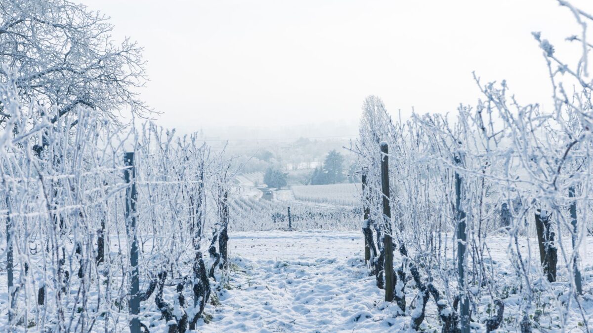
The polar vortex, the huge pool of cold air that spins high above the Arctic, began breaking down in early November, according to forecasters in Britain and France. Meteo-France told AFP that climate reconstructions going back to the 1950s show no such disruption before the end of November.
What this means for winter weather in Europe and North America is still unclear. Both agencies said the outcome depends on how the event develops over the coming weeks.
What the polar vortex is
The vortex is a wide region of cold, low-pressure air that normally circulates far above the Arctic. When it holds together, the coldest air tends to stay locked near the pole. When it weakens or wobbles, some of that air can escape south.
In an El Nino year, and 2026 is one, the vortex usually weakens toward the end of winter, according to the AFP report. That timing tends to send bitterly cold winds across Europe and North America sometime between January and March. This year the weakening showed up in early November, when temperatures are still mild.
How forecasters spotted it
Meteo-France said its models show a major disruption of the vortex in the upper atmosphere, between 10km and 50km in altitude, early this November. That layer sits well above the clouds and weather systems people see from the ground. Forecasters track it with computer models because changes up there can take time to reach the surface, and sometimes never do.
Meteorologists described the event to AFP on Nov. 6. Grahame Madge, a spokesperson for Britain’s Met Office, said the early timing may have been set off by the strength of the El Nino event in the Pacific. He called it “very early” but also said it was “not necessarily worrying.”
What it means for winter weather
An early breakdown could turn out milder than a late one. Madge explained that the air over Siberia and the Arctic has not yet reached the cold it will hold by February, so any outbreak now may be less severe than one later in winter.
Meteo-France was more cautious about the effects on France. The agency said they remain highly uncertain and will depend on how the disruption changes, where it sits, and whether it works its way down into the lower layers of the atmosphere, where daily weather happens. If it stays high up, people on the ground may notice little.
The two agencies also described the event differently. Meteo-France called it unprecedented in its records, while Madge said it was exceptional but not unique.
Is climate change involved?
Some research suggests climate change could play a part in polar vortex disruptions. Scientists who back this idea argue that uneven warming of the Arctic across Europe and Asia can strengthen large waves in the atmosphere. Those waves make it more likely that the vortex wobbles and spills south over North America.
That science is still contested. Researchers also point out that natural swings in the climate play a role, so a single early disruption cannot be pinned on one cause.
What to watch
Neither agency issued a forecast of cold snaps tied to this event. Whether it brings any change at ground level depends on whether the disruption travels down through the atmosphere in the weeks ahead. Readers should follow official forecasts and warnings from national weather services, such as the Met Office in Britain, Meteo-France in France and the National Weather Service in the US, along with guidance from local authorities.
Source: The Straits Times