How Earthquakes Are Measured: Magnitude vs Intensity
Why the Richter scale was retired, what a jump from magnitude 6 to 7 really means, and how your own report of shaking ends up on a USGS map.
Space, Earth and the natural world, explained.
Volcanoes, earthquakes, oceans, glaciers and weather extremes, explained from measurements by USGS, NOAA, NASA and other scientific agencies.
Why the Richter scale was retired, what a jump from magnitude 6 to 7 really means, and how your own report of shaking ends up on a USGS map.
Mount Everest could sink into the Mariana Trench and still sit more than a mile underwater. Here is how deep the ocean really is, how scientists measure it and how little we have mapped.
A tsunami starts when the seafloor or a mountainside moves water from the bottom up. Here is how that becomes a fast, ocean-crossing wave, what the warning signs are and what NOAA's alerts mean.
Kilauea pours out glowing lava while Mount St. Helens blew its top off. The difference comes down to gas and how sticky the magma is.
A tornado starts with wind that changes speed and direction with height and a storm strong enough to stand that spin on end. Here is how it happens, where and when, and how the EF scale rates the damage.
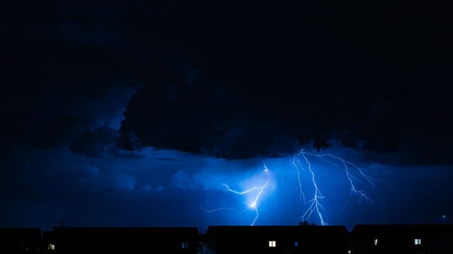
Inside a thunderstorm, billions of ice particles collide and build up charge until the air gives way. Here is how that happens, why thunder follows and what the National Weather Service says to do.
Earthquake prediction is still out of reach, but probability maps, aftershock forecasts and the ShakeAlert system already save time and lives. Here is how each works and which popular signs are myths.
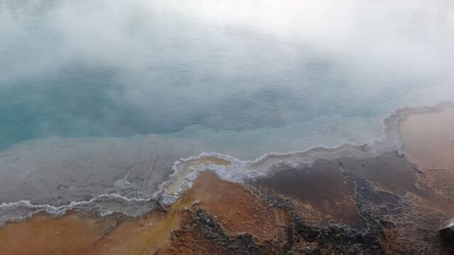
Supervolcanoes leave holes tens of kilometers wide, but their giant eruptions are rare. Here is what the term means, where they are and what Yellowstone is more likely to do next.
We use analytics cookies to see which articles are read. No ads cookies. Privacy policy