Earliest Stratospheric Warming on Record Raises Dry-Winter Worry
A sudden stratospheric warming has arrived earlier than any in records back to the 1940s. A Reading meteorologist says drought, not snow, is the UK concern.
A sudden stratospheric warming, the event that weakens the polar vortex, has struck earlier this season than in any year in the records, according to Professor Andrew Charlton-Perez of the University of Reading. He told the BBC that the main UK risk is a long dry spell that stops reservoirs refilling, and that snow is unlikely. The Daily Express and Surrey Live reported his comments.
Charlton-Perez studies changes in the Arctic stratosphere and how they affect UK weather and forecasts. “We’ve never seen anything like this before,” he said.
What the records show
The best records go back to 1979, when satellite observations began, and reasonable records reach back to the 1940s. In all that time, he said, no sudden stratospheric warming has come before very late November. Most occur from mid-winter onwards.
The polar vortex is a band of strong winds that forms each autumn as the Arctic cools. It circles about 18 miles (30km) above the Arctic. When the air high up warms suddenly, the vortex winds weaken. That shifts the jet stream and raises the chance of a weather pattern becoming stuck in place, which can mean drier, colder conditions and a greater possibility of snow.
Why he does not expect snow yet
An event like this normally leaves the UK colder and drier on average, with settled conditions and often blocking high pressure, Charlton-Perez said. But the timing matters. He said there is still too much heat left over from summer in the oceans, land and atmosphere to make snow likely, and that current forecasts do not suggest it. Later in winter, he said, the link between a warming event and snowy weather would be stronger.
Is El Niño the cause?
A record strong El Niño is under way in the Pacific. El Niño usually weakens the vortex and can make a stratospheric warming more likely in late winter, in January or February. Charlton-Perez said it is too early to say whether it caused this event without more analysis. The vortex was not unusually weak before the event began, he said, and it had had little time to form or feel El Niño’s effects this early in the cold season.
Why it matters: a country already short of water
Summer 2026 was the hottest on record in the UK, with record low rainfall, though the effects varied across the country. The highest temperature was 38.2C (100.6F) in Gloucestershire on Aug. 13. There were five separate widespread heatwaves, and 30C or higher was recorded on 40 days.
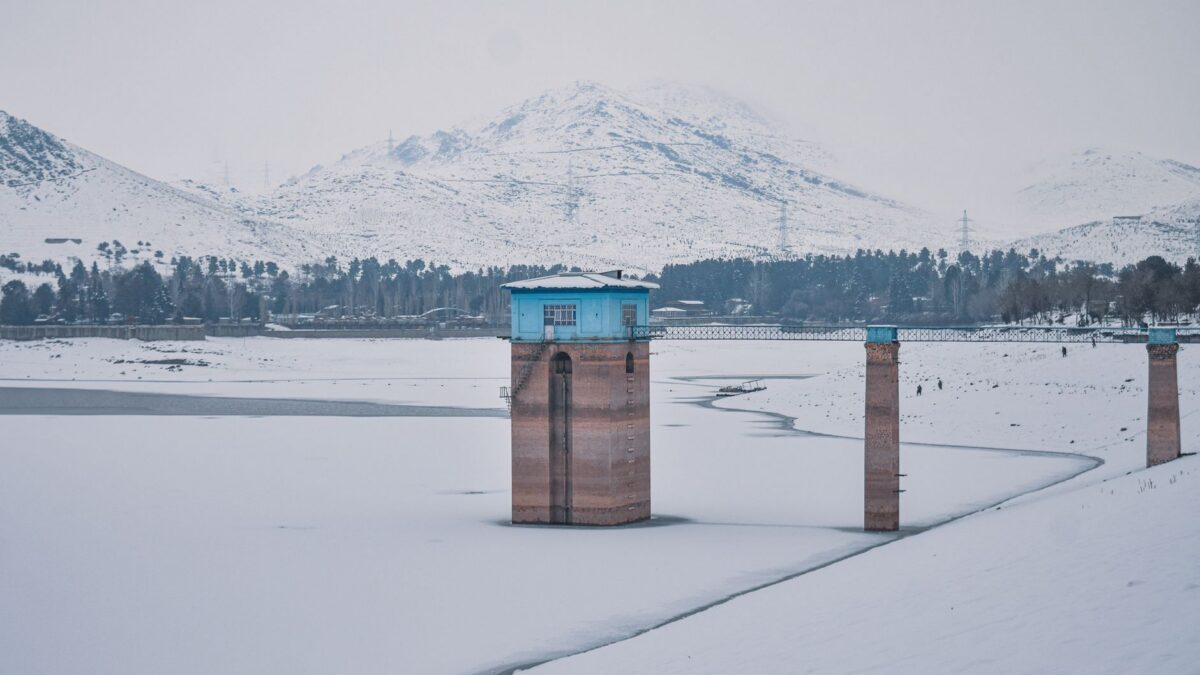
Most of England and Wales remains in drought. Charlton-Perez said some parts are in drought or severe drought and need more than 120% of usual rainfall every month over the winter to recover. If this event or later ones bring prolonged dry weather, reservoirs may not refill. He said that could have extremely significant effects on water supplies for homes, businesses and farmers next summer.
What is still uncertain
The comments are one researcher’s assessment, not a forecast, and the cause of the early timing has not been established. Readers should follow official forecasts and warnings from the Met Office and local authorities for conditions in their area.
Sources: Surrey Live, Daily Express