Super El Niño Tied With 1997-98 for Atmospheric Punch, Says Expert
A very strong El Niño is peaking, and its atmospheric response is about even with 1997-98. What forecasters expect for rain, warmth and tornadoes in the Southeast.
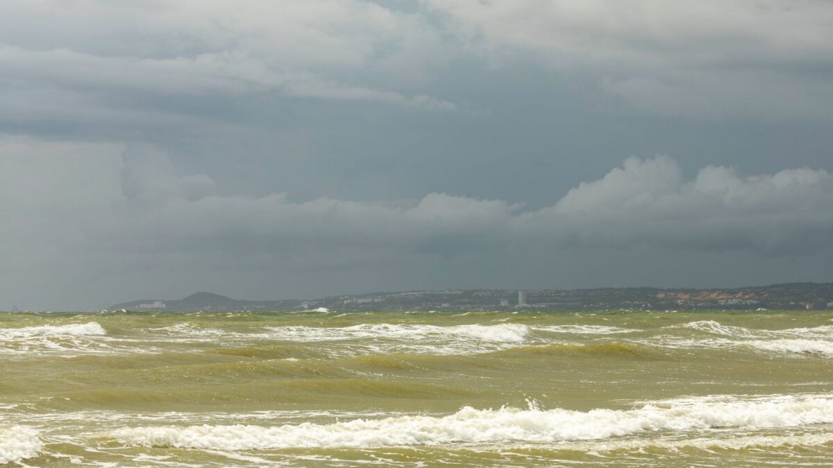
The strong El Niño now in place is about tied with the 1997-98 event for its atmospheric response, according to Emily Becker of the University of Miami, as reported by Yale Climate Connections. That raises the odds of the classic El Niño pattern across the Southeast and Eastern Seaboard this winter, though Becker said it is harder to say whether the impacts will be more extreme.
The Pacific water temperature that defines El Niño, measured in the Niño3.4 region, is far above anything on record for this point in autumn. A newer NOAA measure, the Relative Oceanic Niño Index, compares that reading with warming in the rest of the tropics. On that scale the current event ranks firmly among the top on record but not far ahead of the others.
What forecasters expect from rain and temperature
El Niño’s usual winter pattern in the United States is drier weather near the Ohio Valley, unusual warmth across much of Canada and the northern tier of states, and a wetter arc from southern California across the Southwest and South and up toward the mid-Atlantic. Parts of Arizona, the Four Corners, Florida’s Space Coast and northern Georgia have already had damaging flood rains in recent weeks.
Most global seasonal models call for wetter but cooler than average conditions across the southern half of the contiguous U.S. in January and February, with unusual warmth over most of Canada. Pam Knox, extension climatologist at the University of Georgia, put the chance of wetter and cooler conditions somewhere in the Southeast at about eight in 10. She said that means impacts are more likely, not necessarily stronger.
The rain would help in places that are dry. The share of the 48 contiguous states with some drought fell from a peak of 59% in September to around 44% as of Nov. 3, according to the U.S. Drought Monitor, though moderate to extreme drought persists across the South from Texas to North Carolina.
Warm December, tornado risk and storms
Government meteorologist Eric Webb says super El Niño events tend to bring warm Decembers to the northeast half of the contiguous U.S. This year’s warm pool sits unusually far east in the equatorial Pacific, close to North America, which he says gives it more direct leverage on U.S. climate.
The risk of a major late-winter tornado outbreak is also higher, especially across the Florida peninsula, where a strong subtropical jet stream supplies the wind shear that severe storms need. The National Weather Service office in Tallahassee found that central and southern Florida had roughly twice as many tornadoes from November to April in El Niño years as in neutral or La Niña years. In 1997-98, 15 tornadoes hit central Florida and 42 people died, 24 of them in Kissimmee. In 2015-16, 61 tornadoes struck the Southeast, and the outbreak killed seven people.
Why it matters
Water managers, farmers and energy traders use these seasonal tilts to plan. Becker added that record warmth in the Gulf and North Atlantic means warmer air carrying more moisture, which is likely to strengthen El Niño’s rainfall effects. University of Arizona analysis found Gulf of Mexico sea surface temperatures near record levels for early November, and subtropical North Atlantic waters east of Florida about 0.5 Fahrenheit (0.3 degrees Celsius) above the previous record.
Snow along the Interstate 95 corridor is uncertain. Todd Crawford of Atmospheric G2 says most of the setup behind the big 2009-10 Northeast snowstorms is missing this year, and a stratospheric wind pattern called the Quasi-Biennial Oscillation is forecast to be in a mode unfavorable for snow.
Source: Yale Climate Connections