Atmospheric River Breaks San Francisco Rain Records at 2.28 Inches
An atmospheric river set San Francisco rain records on Nov. 18 and now heads to Southern California, with up to a foot of snow forecast in the Sierra.
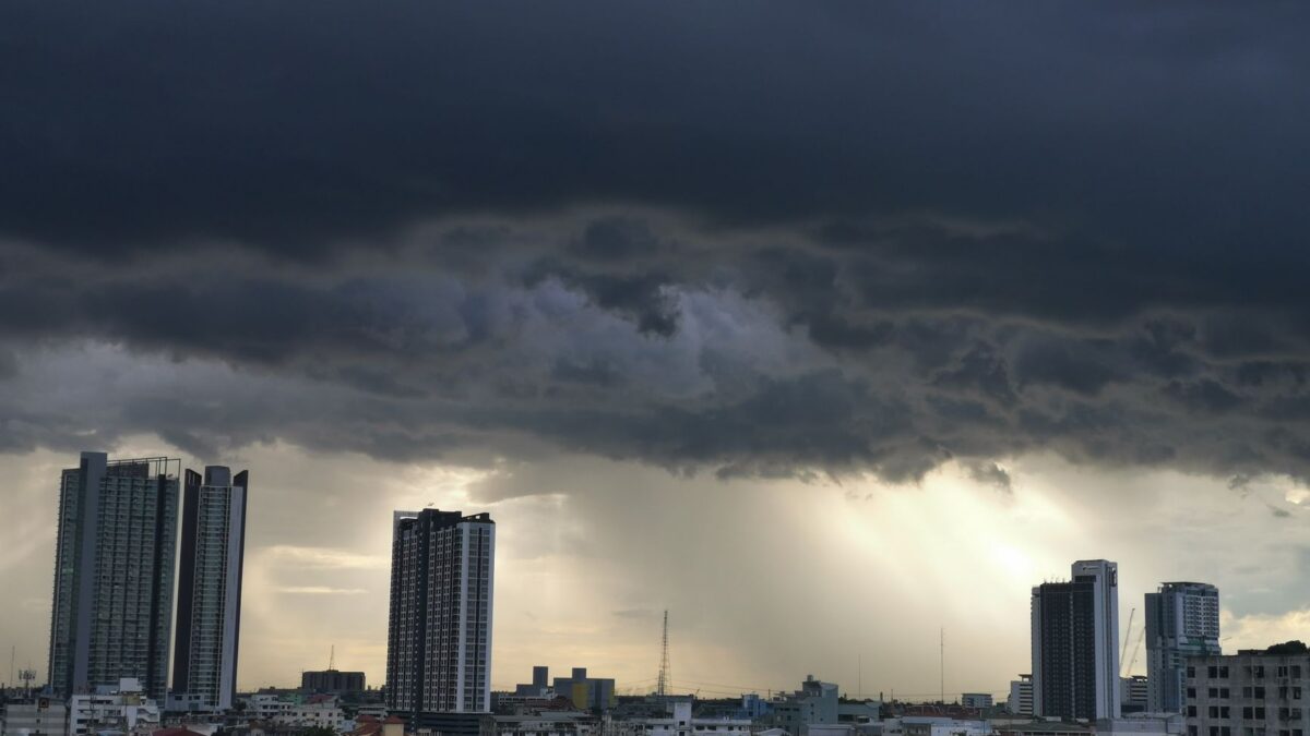
An atmospheric river dumped record rain on downtown San Francisco on Wednesday, Nov. 18, flooding streets and cutting power to thousands of customers across the Bay Area, according to The Guardian. By 3 p.m. the city had logged 2.28 inches for the day, the National Weather Service reported, which beat the Nov. 18 record set in 1918.
The storm was forecast to move into Southern California on Wednesday night and Thursday. Los Angeles told residents of mudslide-prone areas to expect possible evacuation orders, and heavy snow warnings covered the higher Sierra Nevada, including the Greater Lake Tahoe area.
What the storm did around San Francisco Bay
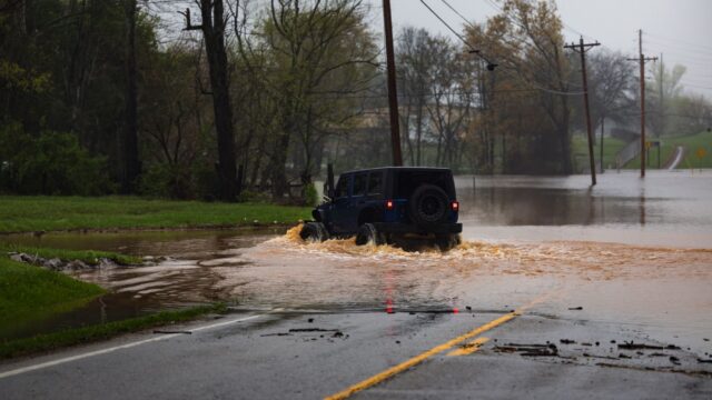
Downtown San Francisco recorded 2.11 inches before noon, the most for that part of the day in 76 years and more than the 1950 record, the San Francisco Chronicle reported. South of the city in Santa Clara, floodwater stood on several highways. In San Jose, the fire department said two vehicles with passengers inside were stranded in flooded downtown streets near the SAP Center, and the second passenger was brought out by boat.
Street flooding left manhole covers floating in one San Francisco neighborhood, and Waymo temporarily suspended service in the city after one of its cars stalled in a flooded street and blocked traffic. The Chronicle also reported “sewage geysers” in the Ocean Beach neighborhood, one reportedly 15 feet tall, as the stormwater and sewer system was overwhelmed. Pacific Gas & Electric’s outage map showed thousands of customers without power by Wednesday afternoon.
Farther south, the Monterey aquarium said storms and massive waves were causing a surge of sea otter strandings in Monterey Bay, and staff had rescued several pups.
San Francisco Mayor Daniel Lurie said the rain would return Wednesday night, with more in the forecast for next week. He warned that flooding was likely to return to many of the areas hit that morning. The Guardian described this winter’s storm and flood season as supercharged by a very strong El Niño.
What an atmospheric river is and where the numbers come from
Atmospheric rivers are massive currents of water vapor that can carry as much water as an actual river, or more. The Guardian reports they have been growing stronger and deadlier in recent years. In the relatively dry western U.S. they bring needed precipitation along with flood risk. For background on how these storms are rated, see our explainer on the atmospheric river scale.
The rainfall figures come from the National Weather Service and from the San Francisco Chronicle, which also supplied the sewer and Waymo reports. The ABC7 News reporting on the stalled Waymo and the local meteorologist’s comments were relayed through The Guardian.
What forecasters expect next
For Southern California, the National Weather Service predicted 1-3 inches of rain in many areas and 3-5 inches in some mountain and foothill areas, with a 20% chance of thunderstorms on Wednesday and Thursday. Up to a foot of snow was expected above 6,000 feet. The agency rated the risk of significant road flooding as high and the risk of rockslides and mudslides as moderate.
Statewide, the heaviest rain was expected northeast of San Francisco, from Santa Rosa to Chico and Redding in the Central Valley, and in the southern Bay Area along the coastal ranges from Santa Cruz to San Jose and Palo Alto. Burn scar areas, including Big Sur and the Napa Valley, are at risk of flash flooding. Los Angeles officials told residents near the areas burned by the 2025 Palisades, Sunset and Hurst fires to prepare for possible evacuation orders, since heavy rain raises the risk of flooding, mudslides and debris flow.
The risk of coastal wave damage in Southern California was expected to peak Thursday, with more risk next week when seasonal high tides overlap with storms during Thanksgiving week. Waterspouts were spotted over San Francisco Bay earlier this week, and the weather service flagged the risk of more.
How sure is this?
This is a storm still unfolding, not a peer-reviewed study. The records and rainfall totals are as reported Wednesday by the National Weather Service and the Chronicle, and the sewage geyser height is reported secondhand. The Southern California rain, snow and flood figures are forecasts from the National Weather Service and may change as the storm moves through. Readers in affected areas should follow official warnings and local authorities.
Source: The Guardian
Site editor: Nikita Sheikin