What Is a Nor’easter? How These Coastal Storms Get So Powerful
A nor'easter is a strong low-pressure storm on the US East Coast driven by northeast winds. See how they form, why they intensify and how to prepare.
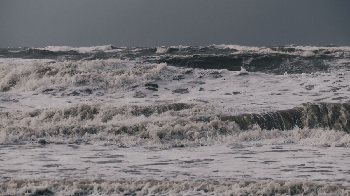
A nor’easter is a large low-pressure storm that forms along the East Coast of the United States and Canada and is named for the strong northeast winds it drives onto the coast. Nor’easters get their power from the clash between cold air over the continent and warm, moist air over the Gulf Stream in the Atlantic, which can make them strengthen very quickly. They can bring heavy snow or rain, hurricane-force gusts, coastal flooding and beach erosion, and they are most common from about October through April.
Where does the name nor’easter come from?
The name comes from the wind direction people on the coast feel as the storm passes. The low-pressure center usually tracks northeast, parallel to the coastline and just offshore. Air circulates counterclockwise around a low in the Northern Hemisphere, so places from the Mid-Atlantic to New England get winds blowing in from the northeast, off the ocean. “Nor’easter” is an old New England contraction of “northeaster,” and the National Weather Service uses the term today.
How does a nor’easter form?
A nor’easter forms when a low-pressure system develops or strengthens near the coast, often off the Carolinas or the Mid-Atlantic, where very different air masses meet. The usual ingredients are:
- Cold, dry air pushing south and east from Canada over the land.
- Relatively warm, humid air over the Atlantic, heated by the Gulf Stream, a current that carries warm water up the coast.
- A dip in the jet stream (a trough) that moves over the region and helps air rise and pull away from the surface low.
The sharp temperature contrast between land and sea gives the storm energy. As warm, moist air rises over colder air, water vapor condenses into clouds and precipitation and releases heat, which lowers surface pressure further and feeds the storm. Many nor’easters start as weaker lows moving in from the Gulf of Mexico or the Midwest and then grow once they reach the coast.
Why are nor’easters so powerful?
Nor’easters are powerful because the temperature difference between the frozen continent and the warm ocean in late fall and winter is at its largest, and that difference is the storm’s fuel. The Atlantic also supplies a steady source of moisture, so a mature nor’easter can drop large amounts of snow or rain over a wide area. Tropical storms get their energy differently, as explained in how hurricanes form.
Some nor’easters deepen so fast that meteorologists call the process bombogenesis, or a “bomb cyclone.” The common definition is a drop in central pressure of at least 24 millibars in 24 hours (the exact threshold is adjusted for latitude). Rapid pressure falls create a steep pressure gradient, and that gradient produces very strong winds.
Size and speed matter too. A nor’easter can cover hundreds of miles, and a slow storm can sit over the same coast for several high tides in a row. That is why some of the worst coastal flooding comes from long-lasting nor’easters rather than from the strongest single gust.
What damage can a nor’easter cause?
A nor’easter can cause damage both inland and along the shore. The main hazards are:
- Heavy snow, often 1 to 2 feet (30 to 60 cm) or more in the hardest-hit areas, with snowfall rates that can reach several inches an hour under intense bands.
- Blizzard conditions. The National Weather Service defines a blizzard as sustained winds or frequent gusts of 35 mph (56 km/h) or more with visibility below a quarter mile for at least three hours.
- Coastal flooding from storm surge, as onshore winds pile water against the coast, made worse when it lines up with high tide.
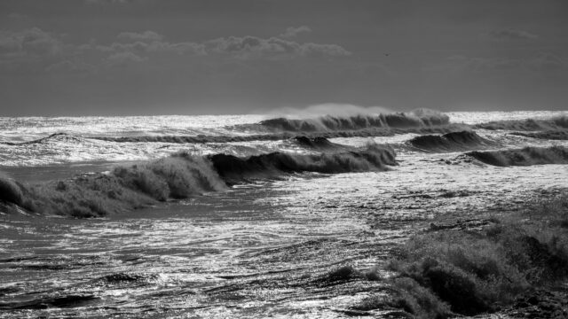
- Beach erosion and damage to dunes, seawalls and waterfront homes from large, battering waves.
- Power outages from wind and from heavy, wet snow or ice weighing down trees and lines.
- Heavy rain and flooding when the storm brings warmer air and falls as rain instead of snow.
Well-known examples include the Blizzard of 1978 in New England, the 1991 “Perfect Storm” off the Northeast coast, and the March 1993 “Storm of the Century,” which affected the whole eastern US.
How is a nor’easter different from a hurricane?
A nor’easter is an extratropical storm, while a hurricane is a tropical cyclone, and they run on different energy. A hurricane forms over warm tropical water, has a warm core and draws its strength from heat released as ocean water evaporates and condenses. A nor’easter has a cold core and draws most of its strength from the temperature contrast between air masses along a front.
The two also differ in shape and season. Hurricanes have a compact wind field and a clear eye, and the Atlantic season runs from June through November. Nor’easters are larger and more lopsided, often with the heaviest snow on the cold, inland side, and they peak in the colder months. Some storms blend the two: a hurricane moving north can turn into a strong extratropical storm, as Hurricane Sandy did in 2012.
When is nor’easter season?
Nor’easters can form in any month, but they are most frequent and strongest between October and April, when the gap between cold continental air and the warm Atlantic is widest. Storms in the middle of winter are the ones most likely to bring heavy snow. Fall and spring nor’easters more often bring wind-driven rain and coastal flooding.
Forecasters usually see a possible nor’easter several days ahead, but the exact track matters a great deal. A shift of 50 miles or so can decide whether a city gets heavy snow, a mix of sleet and rain, or very little, which is why forecasts are often revised as the storm approaches.
How should you prepare for a nor’easter?
Preparation for a nor’easter looks a lot like preparation for any major winter storm. Follow forecasts and alerts from your local office of the National Weather Service, and use the checklists from Ready.gov. Practical steps include:
- Stock food, water, medicines and batteries for at least a few days without power or travel.
- Charge phones and power banks, and keep flashlights within reach instead of candles.
- Run generators only outdoors and well away from windows and doors, because of the risk of carbon monoxide poisoning.
- Bring in or tie down outdoor furniture and anything the wind could throw.
- If you live in a coastal flood zone, learn your evacuation route and leave when local officials tell you to.
- Avoid driving during the height of the storm, and never drive through flooded roads.
Quick answers
Is a nor’easter the same as a bomb cyclone?
No. “Bomb cyclone” describes how fast a storm intensifies, while “nor’easter” describes a type of storm and where it forms. Many strong nor’easters qualify as bomb cyclones, but not all do.
Do nor’easters only bring snow?
No. Depending on temperatures, a nor’easter can bring snow, sleet, freezing rain or heavy rain, and coastal areas often get rain while places farther inland get snow.
Which states get nor’easters?
Nor’easters mainly affect the US East Coast from the Mid-Atlantic through New England, along with Atlantic Canada. Their effects can reach farther south and inland, including the Carolinas and the Appalachians.
How long does a nor’easter last?
Most nor’easters affect a given place for one to two days, though slow-moving storms can bring wind and coastal flooding over several tide cycles.