What Is a Bomb Cyclone? How Storms Deepen 24 Millibars in a Day
A bomb cyclone is a storm whose central pressure drops at least 24 millibars in 24 hours. See what drives it, where it forms and how to prepare.
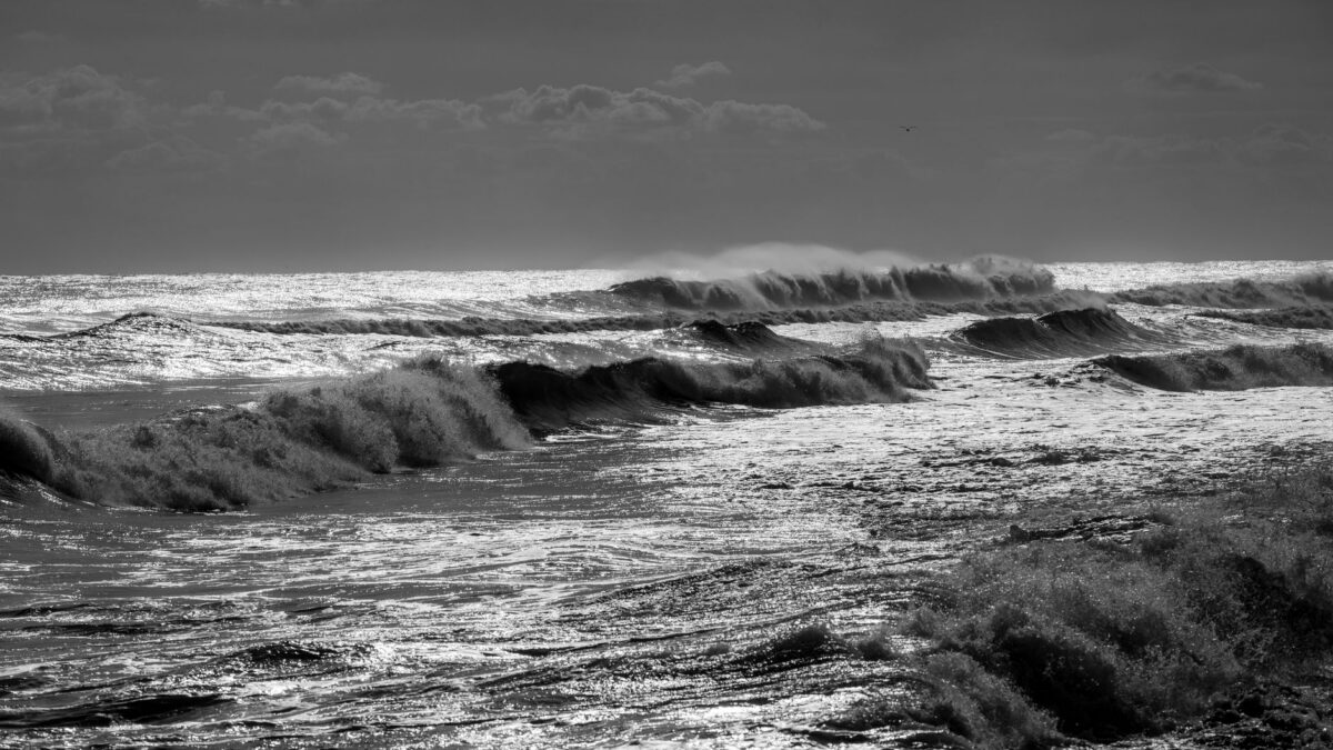
A bomb cyclone is a mid-latitude storm whose central air pressure falls by at least 24 millibars in 24 hours. Meteorologists call that rapid strengthening “bombogenesis” or “explosive cyclogenesis.” The term describes how fast a storm intensifies, so a bomb cyclone can bring blizzard conditions, hurricane-force winds, heavy rain or coastal flooding depending on where it forms and the season.
Most bomb cyclones form in the cold half of the year, from late fall through early spring, over oceans where very cold air meets warm water. Off the US East Coast they often become powerful nor’easters.
What does “bombogenesis” actually measure?
Bombogenesis measures how quickly the pressure at the center of a low-pressure system drops. Lower pressure at the center means a steeper pressure difference between the storm and its surroundings, and that difference drives the wind. The faster the center deepens, the faster winds strengthen around it.
The 24-millibar threshold applies at about 60 degrees latitude. Closer to the equator the bar is set lower, because the same air movement produces a smaller pressure change there. Around the latitude of New England, a drop of roughly 18 to 20 millibars in a day already qualifies. Normal sea-level pressure is about 1013 millibars (29.92 inches of mercury); strong bomb cyclones can bottom out in the 950s or lower, close to the readings of a major hurricane.
Why do some storms intensify so fast?
A storm deepens explosively when several ingredients line up at the same time:
- A sharp temperature contrast. Arctic air moving off a frozen continent and over warm ocean water creates a strong boundary, or front, that stores a lot of energy.
- Warm, moist air over the ocean. Water vapor condenses into cloud and rain or snow, which releases heat into the storm and lowers the pressure further.
- A strong jet stream overhead. When the storm sits under a part of the jet where air spreads apart high in the atmosphere, air is pulled upward out of the storm’s center faster than it can flow in at the surface, so the central pressure keeps falling.
- An upper-level disturbance. A dip in the jet stream, called a trough, moving in from the west gives the surface low an extra push.
When all of these come together, a modest low can turn into an intense storm in a single day. If only one or two are present, the storm still forms but deepens more slowly.
Where and when do bomb cyclones form?
Bomb cyclones form most often over the western edges of the North Atlantic and North Pacific oceans. In the Atlantic, the warm Gulf Stream current runs close to the cold winter air over the eastern US and Canada, which makes the waters off the Carolinas, New England and Atlantic Canada a common breeding ground. In the Pacific, the warm Kuroshio Current east of Japan plays the same role.
The peak season runs from about October through March, when the contrast between polar air and ocean water is greatest. Storms that bomb out over the Pacific can later reach Alaska or the US West Coast, often bringing heavy rain, mountain snow and high surf. Bomb cyclones also happen over land, including the central US, though less often.
How is a bomb cyclone different from a hurricane?
A hurricane is a tropical storm with a warm core that draws its energy from warm ocean water, and it forms in summer and fall in a region with weak wind shear. A bomb cyclone is an extratropical storm, meaning it forms outside the tropics and draws its energy from the clash of cold and warm air masses along fronts.
The two differ in shape as well. Hurricanes are compact and symmetric, with a clear eye. Bomb cyclones are usually much wider, with long cold and warm fronts trailing from the center and a comma-shaped cloud pattern on satellite images. Their strongest winds can cover a far bigger area. Some hurricanes, as they move north and lose their tropical traits, merge with these weather systems and become strong extratropical storms.
What weather does a bomb cyclone bring?
The weather depends on the season, the track and the temperature of the air feeding the storm. Common effects include:
- Heavy snow and blizzard conditions on the cold side of the storm, sometimes with thundersnow when the air is unstable enough for lightning.
- Damaging winds that can knock down trees and power lines over wide areas.
- Coastal flooding and beach erosion, as onshore winds push water toward land and pile up large waves, especially near high tide.
- Heavy rain and flash flooding on the warm side of the storm or along coasts.
- A sharp drop in temperature after the storm passes, as cold air wraps in behind it.
Thunder during a snowstorm is unusual because winter air is usually too stable for tall storm clouds; our explainer on how storm clouds build up charge and produce lightning covers the process behind it.
How can you prepare when one is forecast?
Forecasters can usually see a potential bomb cyclone several days ahead, so the main step is to follow official forecasts and warnings from the National Weather Service and act early. Useful steps:
- Charge phones and power banks, and keep flashlights and spare batteries handy in case of power cuts.
- Keep a few days of water, food that needs no cooking, and any medicines you need.
- Bring in or tie down outdoor furniture, trash cans and other loose items that wind can throw.
- Avoid driving during blizzard warnings, and keep a winter kit in the car if you must travel.
- If you live near the coast, know your evacuation route and follow local orders about flooding.
- Never run a generator, grill or camp stove indoors or in a garage, because of the risk of carbon monoxide poisoning.
The federal Ready.gov winter weather page lists supply kits and safety steps for snow, ice and extreme cold.
Quick answers
Is “bomb cyclone” an official term?
The phrase comes from meteorology itself: researchers adopted “bomb” for storms that deepen explosively, and forecasters still use it. It describes the speed of intensification, so it is not a category on a scale the way hurricane categories are.
Are bomb cyclones becoming more common?
Scientists are still studying how a warming climate affects these storms. Warmer oceans add moisture, which can feed heavier precipitation, but changes in the temperature contrast between the poles and the tropics may work in the other direction, so there is no settled answer yet.
Can a bomb cyclone happen in summer?
It is rare. Summer weather lacks the strong temperature contrast and powerful jet stream that drive bombogenesis, so most cases fall between October and March.
What is the difference between a bomb cyclone and a nor’easter?
A nor’easter is a storm along the US East Coast whose strongest winds blow from the northeast. Many nor’easters are not bomb cyclones, but the most intense ones often deepen fast enough to qualify.