Met Office Expects Snow Showers in 10 Scottish Areas on Thursday
The Met Office expects snow showers in 10 areas of northern Scotland on Thursday as colder air spreads south, with frost by Friday. Here is the forecast.
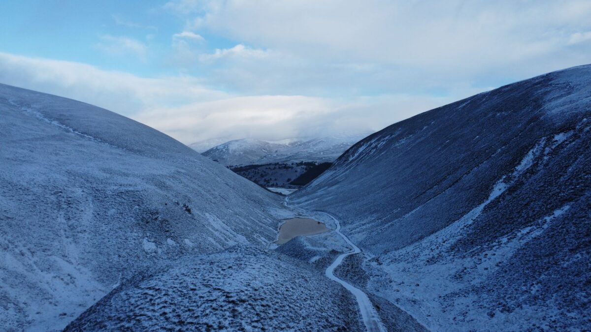
The Met Office says snow showers may reach parts of northern Scotland and the Northern Isles in the early hours of Thursday, and it lists 10 areas where they could fall. Colder air is moving south across the UK at the same time, and frost is expected to become widespread by Friday.
Met Office Chief Meteorologist Jason Kelly said in a forecast issued on Monday that snow showers could briefly fall on lower ground, mainly in Shetland, overnight on Wednesday and into Thursday. He added that snow is likely to settle only on higher ground, which he described as “relatively normal for the time of year”, according to The Mirror.
The 10 areas on the Thursday snow list
- Caithness
- Sutherland
- Ross-shire
- Cromartyshire
- Inverness-shire
- Nairnshire
- Moray
- Banffshire
- Orkney Islands
- Shetland Islands
A sharp drop after a mild start to the week
The Isles of Scilly reached 14C on Monday, The Mirror reported. The paper also said a “risk to life” cold weather alert has now been issued for the UK.
The week opened damp and foggy for many places, and the Met Office expects frost to build from the north. Colder air should reach further south across Thursday and Friday. Most places turn dry with clear or sunny spells, while northern and eastern areas may keep some showers and high ground in Scotland may get wintry ones.
The forecaster expects readings below average across much of the country on Thursday, with the biggest drop on Friday. Stronger winds are likely to make the north-east feel the cold most.
What the forecast maps show for Friday
Netweather maps point to about 0C or lower at 6am on Friday across much of the UK, and as low as -4C in parts of the West Midlands. Met Office maps appear to back the broad picture but show slightly milder spots, mainly on coasts, at around 1C to 2C. The details differ between the two, so readings will depend on location.
For Thursday to Saturday the Met Office describes a markedly colder spell with frosty nights, mostly dry weather and autumn sunshine, plus showers around coasts and strong winds in the far north. By the weekend, temperatures are forecast to edge back toward seasonal norms, with some rain possible as high pressure moves toward mainland Europe.
Why it matters: the polar vortex signal above the Arctic
Last week the Met Office warned of disturbances to the stratospheric polar vortex, a high-altitude circulation above the Arctic. Forecasters said there are signs that a sudden stratospheric warming (SSW) is developing. According to The Mirror, an SSW can increase the chances of an extended dry, cold period of weather in Britain.
Thursday’s snow is a separate, short-lived event: the Met Office calls it normal for the season, and it is expected mostly on high ground. The SSW signs concern the possibility of a longer cold spell, which the forecaster has not confirmed.
Readers in affected areas should follow Met Office warnings and the advice of local authorities, since conditions can change quickly and vary from one valley, coast or town to the next.
Source: The Mirror