Polar Vortex Weakens as Model Shows -3C Daytime Freeze for Scotland
The Met Office says the polar vortex is weakening. The ECMWF model shows midday temperatures of -3C in Scotland and -4C in northern England on Friday.
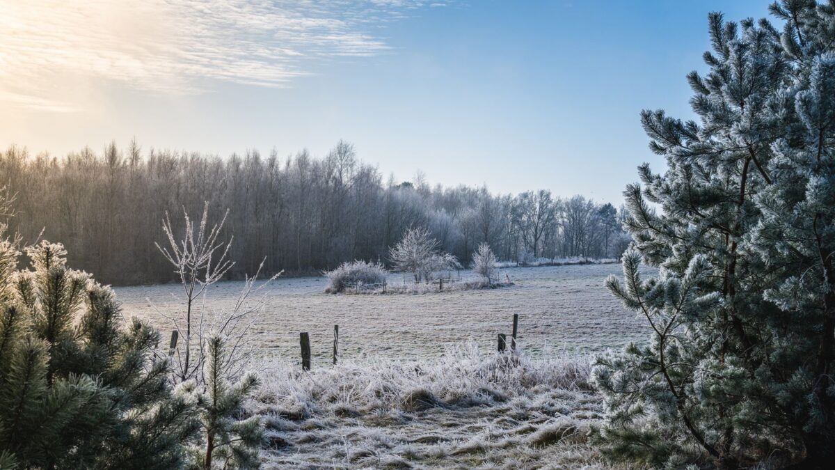
Parts of Scotland could stay at -3C through the middle of Friday, according to the latest run of the European Centre for Medium-Range Weather Forecasts (ECMWF) model, as reported by the Daily Record. The same model shows midday lows of -4C in parts of northern England and -2C in Wales.
The cold forecast comes as the Met Office says the polar vortex is starting to weaken. If that turns into a major sudden stratospheric warming, it could be the earliest one on record.
What the ECMWF model shows for Friday and Saturday
The ECMWF is a computer model, and its runs often change from day to day, so these numbers are a model scenario and not an official forecast. On this run, Friday stays cold into the evening. By 6pm, even the mildest places, East Anglia and the far south-east, reach only about 6C.
On Saturday the cold spreads further across England and Wales. The model puts midday temperatures at -2C to -3C in parts of Wales and in northern, central and eastern England. The far south-west and south-east are again the warmest areas that evening, at around 6C.
Across the two days, the model suggests 57 UK counties could see daytime temperatures below freezing. In Scotland the list runs from Inverness-shire and Aberdeenshire in the north to Dumfriesshire and Berwickshire near the border. It also includes English counties such as Northumberland, Cumbria and Yorkshire, Welsh counties including Flintshire and Monmouthshire, and Fermanagh, Tyrone, Antrim and Down in Northern Ireland. Temperature anomaly maps for the period show much of the UK in deep blue and purple, meaning well below the seasonal average.
How a weakening polar vortex can bring cold air south
The polar vortex is a ring of strong winds high in the atmosphere that normally keeps frigid Arctic air penned in near the North Pole. In a sudden stratospheric warming, temperatures in the stratosphere, the layer above the one where our weather happens, rise quickly. That can disrupt the vortex and shift the jet stream, which sometimes lets Arctic air spill south toward places like the UK.
Met Office forecaster Marco Petagna said a warming is underway in the stratosphere and the vortex there has begun to weaken. If the winds reverse direction, he said, it would count as a major sudden stratospheric warming, possibly the earliest ever recorded. The earliest major events so far happened on Nov. 28, in both 1969 and 2025.
Why it matters, and what is still uncertain
A major warming raises the odds of cold weather in the UK, but the effect usually shows up a few weeks later. Petagna said the influence would be more likely deeper into November, if the event happens at all.
He also pointed to last November, when a major warming did not bring much cold weather to the UK. “It doesn’t always happen, it just increases the chance of it occurring,” he said.
So the cold weekend in the ECMWF run and the stratospheric warming are two separate things. The first is a model’s view of the next few days. The second is a change high above the Arctic that may or may not shape weather later in the month.
The Met Office is the official forecaster for the UK. Readers should follow its forecasts and any warnings from local authorities as the week goes on.
Source: Daily Record