Met Office Says Polar Vortex Is Not Behind UK’s Cold Snap
The Met Office says the UK's first cold spell of late autumn is not caused by the polar vortex. Frost is expected, with some snow in northern Scotland.
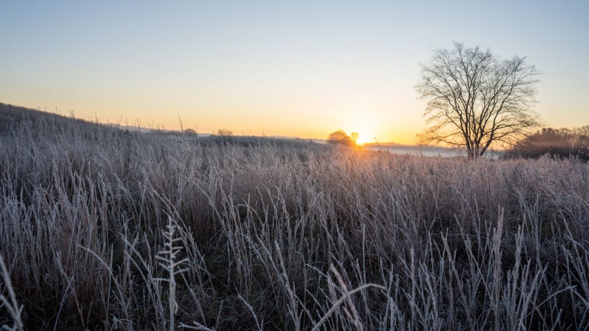
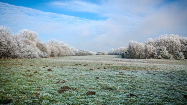
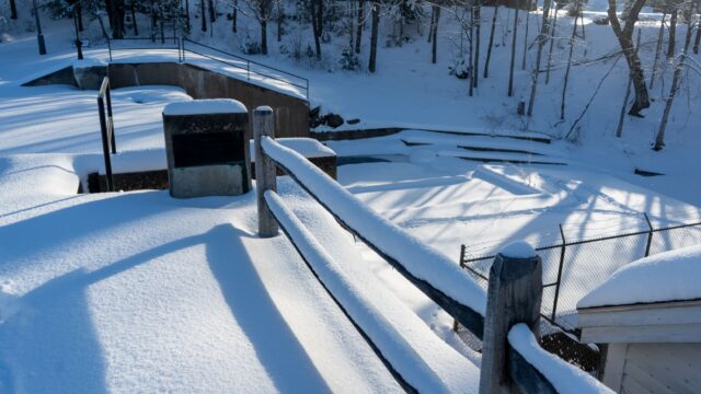
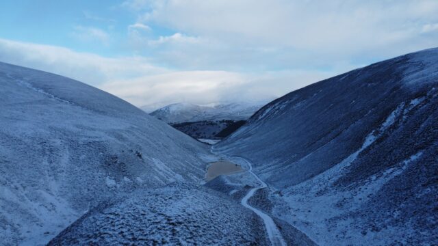
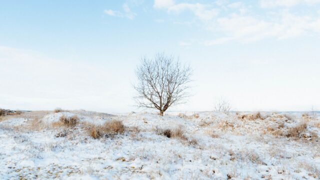
The UK’s first cold spell of late autumn is not caused by the polar vortex, the Met Office said in an update this week, according to LADbible. Frost is expected over the next few days, and some high ground in northern Scotland may see a little snow.
Met Office spokesman Stephen Dixon said overnight temperatures are likely to fall towards minus 6C in some places, with a fairly harsh frost for some people.
Fog gives way to colder Arctic air
November began with fog across much of the UK. The Met Office said the widespread low cloud, mist and dense fog of recent days will gradually clear, leaving clearer skies and colder air arriving from the Arctic, with a growing risk of frost and ice. It put the change down to developments in the troposphere, the lowest layer of the atmosphere, where everyday weather happens.
Dixon said cooler air is being swept across the UK from the north, which is why parts of northern Scotland could see snow.
What the polar vortex is doing
The polar vortex is a large region of very strong winds high above the Arctic during winter. The Met Office said the stratosphere above the North Pole has recently warmed and the winds around the vortex have weakened. A brief reversal of those winds is possible. Forecasts indicate the disruption may be short-lived, with the vortex returning closer to its average state as December approaches.
The vortex has been a popular topic this year. LADbible reports that, in recent weeks, some have suggested the very powerful El Niño, which has been disturbing weather in many parts of the world, could also affect the vortex and lead to a colder than usual winter. That remains a suggestion. The Met Office ties this week’s chill to the lower atmosphere.
Where snow and frost are expected
Harsh frost is expected across the UK over the next few days. The Met Office’s precipitation maps show wintry conditions reaching parts of Scotland on the evening of Saturday, Nov. 14, and continuing into the early hours of the following day.
According to the Mirror, the Scottish council areas that could see snow on Sunday morning are Highland, Moray, Aberdeenshire, Angus, Na h-Eileanan Siar, and Argyll and Bute. Dixon added that there is a chance of snow in the far north of Scotland on Monday morning.
He described the main weather of note as the possibility of snow over higher ground in the north of Scotland. Snow there is not unusual at this time of year, he said, and a couple of centimeters could build up on the very highest ground.
What this means for the week ahead
For most of the UK the change is a drop in temperature and a risk of frost and ice, with snow limited to high ground in the north. Dixon said drivers can expect to scrape their cars in the morning as the first cold snap of the season takes hold.
The stratospheric warming is a separate development from this week’s cold. The Met Office expects the vortex to move back towards its usual state as December approaches, though forecasts can change. Readers should follow official Met Office warnings and local authorities for conditions in their area.
Source: LADbible