Super El Niño Winter Outlook Favors Snow in Sierra and Southwest
The ECMWF seasonal model shows a snowy Sierra Nevada and Southwest, a colder US south and a mild Europe this winter. See how 1997/1998 compares.
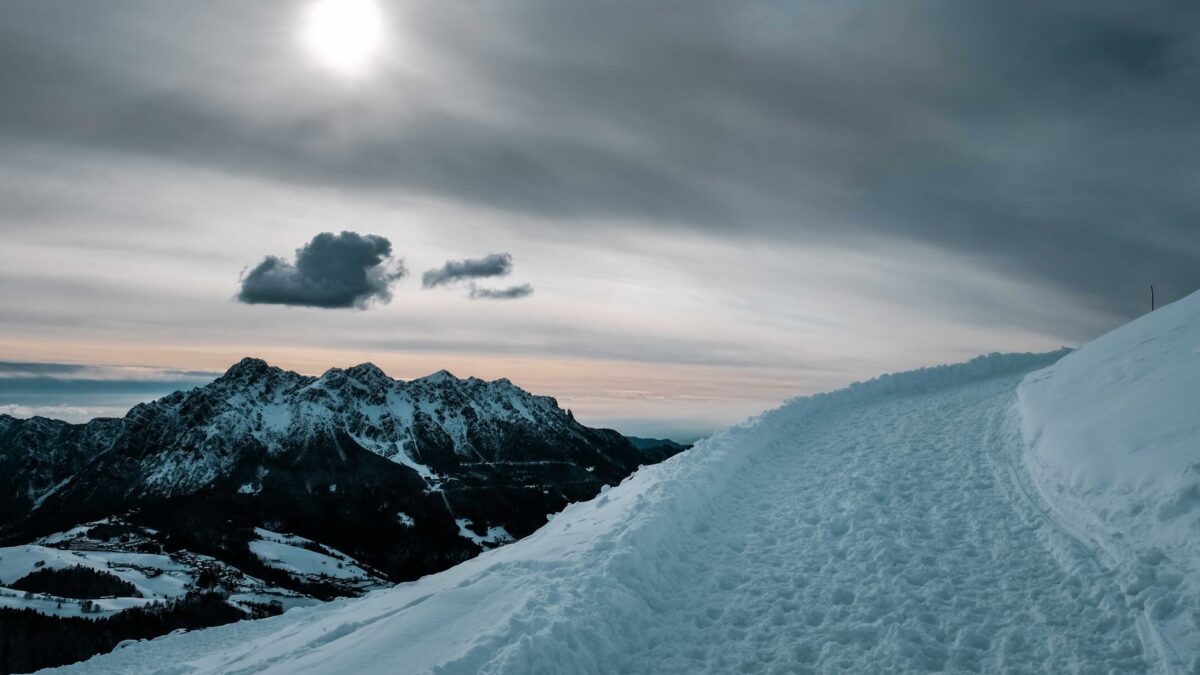
The November run of the ECMWF seasonal model shows above-normal snowfall across the central, southwestern and eastern United States this winter, while most of Europe stays mild, according to the forecasting site Severe Weather Europe. The site says only one past winter resembles the predicted pressure pattern for 2026/2027: 1997/1998, one of the strongest El Niño events on record.
These are model projections for December through February, not measurements, and individual storms will not follow a seasonal average.
How the comparison with past winters was made
Severe Weather Europe built its El Niño analysis from NOAA OISST ocean temperature data. It set this October’s ocean anomalies beside those of the three previous Super El Niño events, using the same scale. The 2026 event is stronger than all three, and only 1997/1998 comes close in the overall pattern.
The site then compared December to February pressure patterns across those events, using forecast data for 2026/2027. Again, 1997/1998 was the only close match. The author cautions that this does not predict a repeat of that winter and calls the match a clue.
What the 1997/1998 winter looked like
In the United States, temperatures ran above normal across southern Canada and the northern half of the country. The warmest anomalies sat over the Upper Midwest and the northern Plains, while the Southwest was colder than normal. Snowfall was lower across the northern Plains, the Midwest, the Great Lakes and eastern Canada. An active southern storm track brought well above-normal snow to the Sierra Nevada, the mountains of the Southwest, the Appalachians and the Northeast.
Europe saw a milder than normal season across most of the continent, strongest over the central parts. Only the far north and northeast were cold. Snowfall fell short across central Europe, the UK and the southeast, because a mild westerly flow brought rain instead of snow at lower elevations.
What the 2026/2027 forecast shows
The pressure forecast has a low over the North Pacific and a blocking high over Canada, a pair seen in every major El Niño event. This time a deeper low also sits over the southern United States, driven by a strong Pacific jet stream. That produces above-normal temperatures in Canada, the northern United States and the Northeast, and below-normal temperatures from the Southwest and south-central Plains into the Southeast.
Precipitation is forecast above normal over most of the United States, with the biggest amounts in the Southeast and California and a risk of isolated flooding. Western Canada and parts of the northern United States are forecast drier than normal.
For snow, the model shows a deficit across the Pacific Northwest, western Canada, the northern Rockies, the Great Lakes and Maritime Canada. Above-normal snowfall is indicated across much of the Southwest, the Plains, parts of the Midwest and Ohio Valley, and the Appalachians into the interior Mid-Atlantic. The strongest signal is over the Sierra Nevada in California, and it extends to the Great Basin, Utah, the Southern Rockies and the higher ground of Arizona and New Mexico. By month, February looks like the coldest and snowiest stretch for the central, southern and eastern United States, and January is the wettest month for California and the Southeast.
Europe: mild air and a higher snow line
High pressure covers most of Europe in the forecast, with a mild southwesterly flow between it and the Atlantic low. Winter precipitation is above normal across much of the continent, but the milder air pushes the snow line higher than usual. The site expects a difficult season for natural snowpack at most ski resorts. Above 1,800 to 2,000 m (5,900 to 6,600 ft), snowfall is likely to run above normal where temperatures stay cold enough, and the north and the Alps are exceptions to the weak snow outlook.
What this means for the winter ahead
More precipitation does not automatically mean more snow, because snow needs cold air, which depends on pressure patterns and on elevation. Europe can also still see individual northerly outbreaks when Atlantic lows pass into the north. Severe Weather Europe also reports that two major models now show a disruption of the polar vortex in mid-winter.
Seasonal outlooks describe tendencies over months. For day-to-day conditions, readers should follow official forecasts and warnings from the National Weather Service, the Met Office and local authorities.
Source: Severe Weather Europe