What Is the Polar Vortex? How It Sends Arctic Cold South
The polar vortex is a ring of cold air and strong winds circling the poles. See why it sometimes weakens and lets Arctic air flood into the US and Europe.
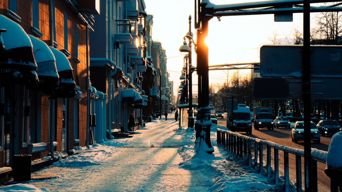
The polar vortex is a large area of low pressure and very cold air that circles each of the Earth’s poles, held in place by a band of strong westerly winds. It is always there and grows strongest in winter. Extreme cold reaches the United States, Canada, Europe or Asia when that circulation weakens, stretches or splits, and lobes of Arctic air spill far south of where they normally stay.
A polar vortex is not a single storm and does not travel south as a unit. Forecasters use the term for a large-scale pattern high above the Arctic, and what people feel on the ground is one piece of that cold air breaking loose for a few days or weeks.
Where is the polar vortex located?
The polar vortex sits over the North Pole and the South Pole, with two layers that behave differently. The lower part lives in the troposphere, the layer where weather happens. The upper part, the stratospheric polar vortex, spins roughly 10 to 30 miles (16 to 50 km) above the ground, well below the altitudes discussed in our explainer on where space begins and how the atmosphere is layered.
In the Northern Hemisphere the vortex turns counterclockwise when seen from above. It forms each autumn as the polar region slips into months of darkness and loses heat to space, and it fades in spring as sunlight returns.
Why does the polar vortex bring extreme cold?
A strong, tight vortex keeps the coldest air locked over the Arctic. The jet stream that rings it runs fairly straight from west to east, and winters farther south tend to stay milder.
When the vortex is disturbed, the jet stream turns wavy. Deep southward dips carry Arctic air into the middle latitudes, while northward bulges push warmer air toward the pole. That is why a brutal cold snap in Chicago or Berlin can happen in the same week as unusual warmth in Alaska or Greenland. The total amount of cold air on the planet has not changed. It has simply moved to where people live.
What is a sudden stratospheric warming?
A sudden stratospheric warming is a rapid rise in temperature high over the Arctic, sometimes by tens of degrees within a few days, that slows, shifts or splits the stratospheric polar vortex. It starts when large atmospheric waves, set off by mountain ranges and contrasts between land and ocean, travel upward and break against the vortex.
Not every warming sends cold air south. When it does, the effect on the ground usually shows up one to several weeks later, because the disruption has to work its way down from the stratosphere into the troposphere. Forecasters watch for these events because they give an early hint that the second half of a winter could turn colder in parts of North America, Europe or Asia.
Which polar vortex cold outbreaks are best known?
The term had been used by meteorologists for well over a century, but it became widely known in the United States during the cold outbreak of January 2014, when temperatures across the Midwest fell below zero Fahrenheit and stayed there for days. Several outbreaks since then have drawn the same name:
- Late January 2019, when Arctic air brought dangerous wind chills to the Upper Midwest and Chicago dropped well below zero.
- February 2021, when cold air reached Texas and the southern Plains, froze natural gas equipment and power plant components, and led to long blackouts across the state.
- Winter outbreaks in Europe, such as the late February and early March 2018 cold wave that brought snow and freezing temperatures to the United Kingdom and much of the continent.
The 2021 Texas event showed how cold strains power grids from both sides: demand for heating jumps while some generators fail. Even plants built for steady output can trip offline when instrument lines freeze, which is one reason grid operators winterize equipment of every kind, from gas wells to the reactors described in our guide to how nuclear power plants make electricity.
Is climate change making polar vortex events more common?
Scientists have not settled whether a warming climate makes polar vortex disruptions more frequent. The Arctic is warming faster than the global average, and one camp of scientists thinks this could weaken the vortex or make the jet stream wavier more often. Others see the link as weak or hard to separate from natural year-to-year swings. Measured records show that cold outbreaks still happen in a warming world, even as winters overall have grown milder in many regions.
How can you stay safe during a polar vortex cold snap?
The main danger is cold combined with wind, which pulls heat from skin quickly. The National Weather Service issues cold weather advisories and extreme cold warnings and publishes a wind chill chart showing that frostbite can develop on exposed skin in about 30 minutes when wind chills fall to roughly minus 20°F (minus 29°C) or lower, and faster in colder conditions.
- Check the local forecast and any warnings before going out, and limit time outdoors when wind chills are dangerous.
- Dress in loose layers, with a hat, gloves or mittens, a scarf over the face and waterproof boots. Wet clothing loses its insulation fast.
- Watch for frostbite (numbness, white or grayish skin) and hypothermia (shivering, confusion, slurred speech, drowsiness). Hypothermia is a medical emergency, so call 911.
- Never heat a home with a gas oven, grill or outdoor generator indoors. Carbon monoxide builds up without any smell, and a working CO alarm is the only reliable warning.
- Let faucets drip slightly and open cabinet doors under sinks on outside walls to help keep pipes from freezing.
- Keep a winter kit in the car with blankets, water, snacks, a flashlight and a phone charger.
The federal Ready.gov winter weather page has full checklists for homes, cars and pets. Older adults, babies, people without stable housing and anyone working outdoors face the highest risk, so checking on neighbors during a long cold spell matters.
Quick answers
Does the polar vortex exist in summer?
The stratospheric polar vortex breaks down in spring and is largely absent in summer. It re-forms in autumn as the pole cools in the dark.
Does the Southern Hemisphere have a polar vortex too?
Yes. The vortex over Antarctica is usually stronger and more stable than the Arctic one, because the Southern Hemisphere has fewer large mountain ranges to disturb it. Its cold, stable air also helps form the seasonal ozone hole each southern spring.
How far ahead can a polar vortex cold snap be forecast?
Signs of a sudden stratospheric warming can appear one to two weeks ahead, and the surface effects may follow weeks later. The exact timing and location of the coldest air usually become clear within about a week.
Is the polar vortex the same as the jet stream?
No. The polar jet stream is the fast band of wind near the edge of the cold air in the lower atmosphere, while the polar vortex is the larger circulation of cold air around the pole. A weak or disturbed vortex often goes together with a wavier jet stream.