How Cold Does It Have to Be to Snow? Temperature Limits
Snow can fall with the ground near 32°F (0°C) or a bit above, and it can still fall far below zero. Here is how cold it must be and when it is too cold.
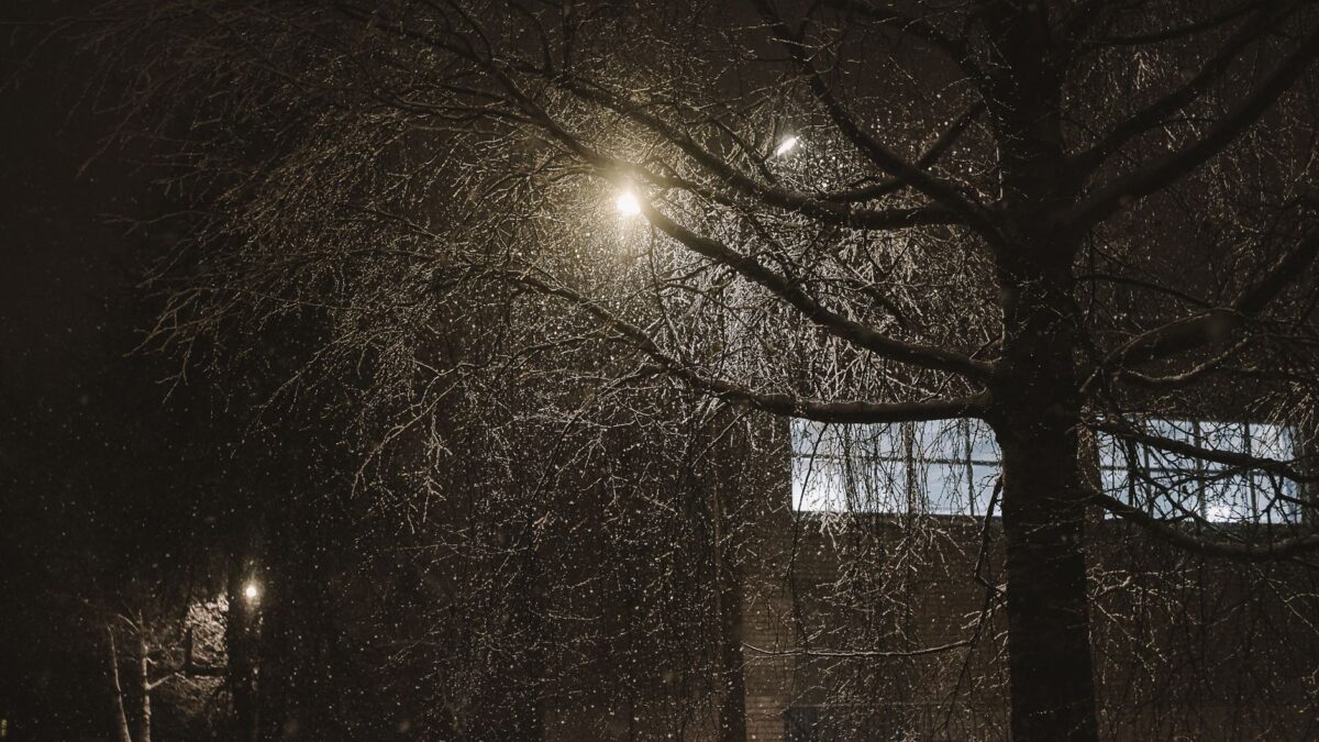
Snow forms when the air inside a cloud is at or below 32°F (0°C) and the moisture there freezes into ice crystals that grow and fall. The temperature at ground level matters less than the temperature on the way down: snow can reach the surface when the air near the ground is a few degrees above freezing, as long as the flakes do not melt completely first. There is no lower limit at which snow becomes impossible, but very cold air holds so little water vapor that heavy snowfall is rare in extreme cold.
What temperature does it need to be for snow to form?
Snow begins in clouds where temperatures are below freezing, usually thousands of feet above the ground. Tiny cloud droplets often stay liquid well below 32°F (0°C), a state called supercooled, and they freeze onto small particles of dust or other material. Once a crystal exists, water vapor deposits on it and it grows into a snowflake. Pure droplets without particles can stay liquid down to roughly -36°F (-38°C) before they freeze on their own.
So the cloud needs to be cold enough for ice, and the air below needs to be cold enough to keep that ice from turning back into rain.
Can it snow when the ground temperature is above freezing?
Yes. Snow can fall with surface temperatures of 33°F to 35°F (about 1°C to 2°C), and sometimes a little higher. The flake takes time to melt as it falls, so if the layer of warm air is shallow, the flake reaches the ground intact. Dry air helps: as snow falls through it, some ice evaporates, which cools the air around the flake and slows melting.
The reverse also happens. Rain can fall when the thermometer at your house reads below 32°F (0°C) if a warm layer sits above, and it may freeze on contact with the cold ground, which is freezing rain. Forecasters check temperatures at several heights because the number at the surface does not tell the whole story. The National Weather Service issues winter weather alerts based on these conditions for the United States.
Why is snow so often forecast near 32°F?
The moist air that produces big snowfalls tends to sit near freezing. Warmer air carries more water vapor than very cold air does, so a storm with temperatures close to 32°F (0°C) can drop a large amount of moisture. That moisture also makes wetter, heavier flakes that stick together and clump.
Colder air produces lighter flakes. This is why the same storm can give heavy, wet snow near freezing and light, fluffy powder when it is much colder.
Can it be too cold to snow?
It can be too cold for heavy snow, but it is rarely too cold for any snow at all. As temperatures drop well below 0°F (-18°C), the air holds very little moisture, so there is less water available to build flakes. Snowfall totals in the coldest regions are often small for that reason, and the heaviest snowstorms typically occur when temperatures are between about 20°F and 32°F (-7°C to 0°C).
Light snow and ice crystals still fall at much lower temperatures. Very cold, clear air can produce tiny sparkling ice crystals called diamond dust, which falls from a sky with few or no clouds.
How does temperature change what snowflakes look like?
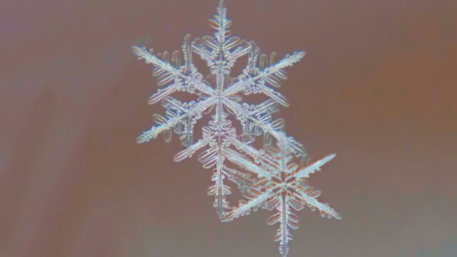
Temperature and humidity together decide the shape of an ice crystal. Branching, star-shaped flakes called dendrites grow best at roughly 10°F to 0°F (-12°C to -18°C) when there is plenty of moisture. Flat hexagonal plates form at somewhat different temperatures, and needles and columns appear in other ranges. Near freezing, flakes melt slightly and stick together, forming large clumps that can measure an inch or more across.
Wind and the path a flake takes through different layers of a cloud change its shape, which is part of why no two flakes look identical. Cold, dry snow makes a squeaky sound when you walk on it, and wet snow packs easily for snowballs.
What else decides whether a storm brings snow?
- The temperature profile from cloud to ground, including any warm layer in between.
- Humidity near the surface, since dry air allows snow to survive at warmer temperatures.
- How fast precipitation falls. Heavy snow cools the air as it melts, which can turn rain to snow during a storm.
- Elevation, because air generally cools with height and mountain slopes get snow while valleys get rain.
Seasonal patterns shape where snow falls too. For one example, a winter outlook favoring snow in the Sierra and Southwest shows how large-scale climate patterns come into play. In Britain, forecasts of snow showers in Scottish areas often hinge on temperatures near the freezing mark.
Quick answers
Is it too warm to snow at 40°F (4°C)?
Snow at a surface temperature of 40°F (4°C) is very unlikely, because flakes usually melt before they land. Occasionally, snow survives with surface readings of 35°F to 37°F (about 2°C to 3°C) when the air is dry and the warm layer is thin.
Is snow possible at 0°F (-18°C)?
Yes. Light snow often falls at 0°F (-18°C) and well below. Total accumulation tends to be smaller because the air carries less moisture.
Can thunder happen in a snowstorm?
Occasionally, yes. The phenomenon is called thundersnow, and the explanation of how thunder and lightning happen in snow covers what is behind it.