How Weather Forecasts Work and How Accurate They Are
Weather forecasts come from computer models fed by satellites, balloons and ground stations. Accuracy is high for 1 to 3 days and fades after about a week.
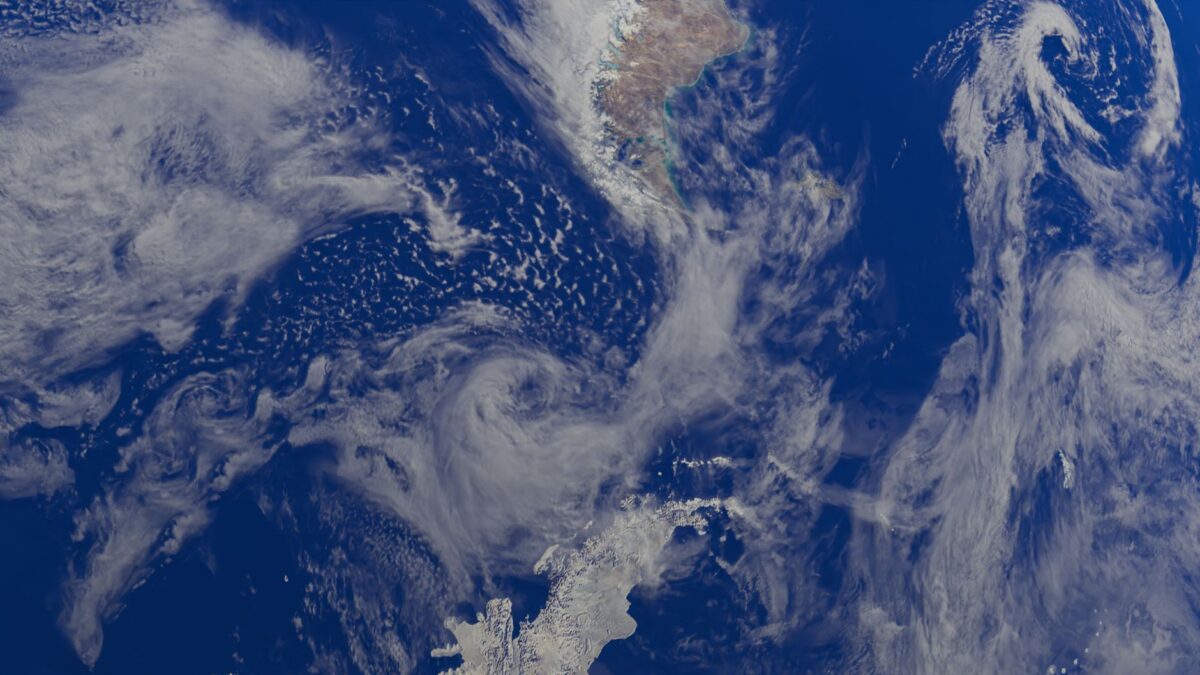
A weather forecast is a calculation, not a guess. Meteorologists collect millions of measurements of the atmosphere, feed them into computer models that apply the laws of physics, and then interpret the results. Forecasts for the next one to three days are usually reliable. Their skill drops steadily after that, and beyond about a week to ten days a forecast can describe broad patterns at best, not the weather on a given afternoon.
Where does the data for a forecast come from?
Forecasts begin with observations of what the air is doing right now. Weather stations on the ground measure temperature, pressure, humidity, wind and rainfall. Weather balloons carry instruments called radiosondes up through the atmosphere and report conditions at different heights. Ships, buoys and aircraft add readings over oceans and along flight routes. Radar tracks rain, snow and hail inside storms, and satellites watch clouds, water vapor and temperatures from orbit.
All of these readings are merged into one picture of the atmosphere in a process called data assimilation. That picture is the starting point of every model run.
How does a computer model predict the weather?
A numerical weather model divides the atmosphere into a three-dimensional grid of boxes. For each box, it solves equations for how air moves, how heat and moisture travel, and how pressure changes. It then steps forward in time, minutes at a time, until it reaches the end of the forecast period. Supercomputers run these calculations because a global model involves a huge number of boxes and many steps.
Processes smaller than a grid box, such as individual thunderstorm updrafts or the way a cloud forms, cannot be calculated directly. Models use simplified rules called parameterizations for them, which is one source of error.
Newer systems also use machine learning, which trains a program on decades of past weather instead of solving the physics step by step. The idea is related to the pattern-learning described in how AI chatbots work, although the data and goals differ. These models are still being tested against the traditional ones.
Why do forecasts go wrong?
There are two main reasons. First, measurements are never complete or perfect. The atmosphere is sampled at a limited number of places, and every small error in the starting picture grows as the model steps forward. Second, the atmosphere is chaotic: tiny differences in the starting conditions can produce very different outcomes days later. This is why the quality of a forecast falls with each additional day, and why no amount of computing power can make a two-week forecast as sharp as a two-day one.
Local features add more trouble. Mountains, coastlines, lakes and cities change wind and rain in ways that a coarse grid can miss, so a forecast for a valley floor can differ from the forecast for the ridge above it.
What does a “40 percent chance of rain” mean?
It means that in the forecast area, there is a 40 percent chance that any given spot gets measurable rain during the period. It does not mean it will rain for 40 percent of the day, and it does not mean 40 percent of the area gets rain for certain. The probability combines how confident the forecaster is that rain will form with how much of the area it would cover.
Many forecasts come from ensembles. A model is run many times with slightly different starting conditions, and the share of runs that produce rain becomes part of the probability. When the runs agree, confidence is high. When they spread out, the forecast is less certain, and good forecasts say so.
How accurate are forecasts for different time spans?
- Within a few hours: very reliable, especially for storms already visible on radar.
- One to three days: usually dependable for temperature, wind and the timing of rain or snow.
- Four to seven days: the general pattern is usually right, but timing and amounts shift from one update to the next.
- Beyond about a week: outlooks describe trends, such as warmer or wetter than normal, not specific days.
Some weather is harder to predict than other weather. Large systems such as winter storms and hurricane tracks are handled better than the exact location of a single thunderstorm. Storm intensity and the precise spot where a tornado forms remain difficult.
The National Weather Service issues forecasts, watches and warnings for the United States and publishes the reasoning behind them. Its space weather counterpart is also covered in a news item on NOAA’s aurora forecast for Michigan.
Quick answers
Why do forecasts change from one day to the next?
Each new run starts from newer observations, which corrects errors that had grown in the earlier run. A change means the forecasters have better information, not that the earlier one was careless.
Is a forecast with a percent chance of rain ever “wrong”?
A single outcome rarely proves a probability wrong. If it rains on 3 out of 10 days that were each given a 30 percent chance, the forecasts were consistent. Reliability shows up over many forecasts.
Which source should I trust?
Official forecasts from national weather services draw on the same observations and models as most apps. Apps often show model output with little human review, while forecasters add local knowledge, particularly when severe weather is possible.