Atacama Desert Blooms Red, Green and White After Wet Winter
Landsat images show Chile's Atacama Desert in bloom after heavy 2026 rains. Researchers say it may be the largest of the satellite era.
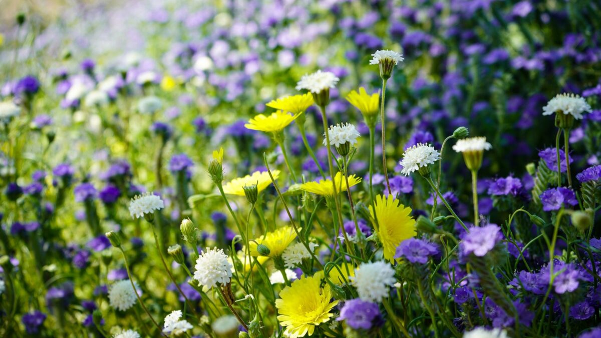
One of the driest places on Earth, the Atacama Desert in northern Chile, changed color during the austral spring of 2026. Patches went red-purple, green and white after a winter far wetter than usual. NASA reports that the rain triggered seeds buried in the soil to sprout, and researchers say the result may be the widest desierto florido (“flowering desert”) since satellites began watching.
Landsat satellites recorded the change in pairs of images from Sept. 14 and Oct. 24.
Why a desert got so much rain
El Niño, a warming of the tropical Pacific, was building when the rain arrived. In such a year the subtropical Pacific high, a pressure system that normally keeps northern Chile dry, grows weaker. A blocking high tends to form in the South Pacific near the southern tip of South America. Both changes nudge the Southern Hemisphere’s storm track closer to the equator.
Chile’s national weather service (Dirección Meteorológica de Chile) reported that storm fronts, fed by an atmospheric river, began arriving in mid-July. They delivered one of the heaviest July rain events in decades along a long strip of the country, from the Atacama region down to Los Lagos. Back-to-back winter storms in August then left rare snow on parts of the desert.
How satellites and field teams tracked the bloom
The September images came from the Operational Land Imager (OLI), a sensor on Landsat 8. The October images came from the same kind of sensor on Landsat 9. One pair covers ground roughly 30 kilometers (20 miles) southwest of Copiapó, close to the eastern part of Desierto Florido National Park. The big red-purple areas in the Oct. 24 view are blooms of pata de guanaco, most likely Cistanthe longiscapa or a related Cistanthe species, according to Roberto Chávez, a remote sensing scientist at Pontificia Universidad Católica de Valparaíso.
A second pair shows terrain about 50 kilometers (30 miles) southwest of Copiapó, within an area ranked as a priority for its biological value. Cistanthe is plentiful there in October. In September the same spot looked different: green patches topped with white mark blooms of suspiros, or Nolana, probably Nolana baccata. Andres Moreira-Muñoz, a scientist at the same university who studies plant geography, gave that identification. His team photographed hillsides covered in Nolana on Sept. 24, 2026.
On Oct. 24, Chávez and colleagues were out in the desert, studying the bloom with satellite data, drones and digital cameras. They want to map how plant diversity in the bloom shifts across the landscape and through time.
How sure is this?
The “largest bloom” claim comes from researchers quoted by NASA. The source describes no published study of the 2026 event. Moreira-Muñoz said it “appears to be the most significant to date” in extent, intensity and duration, at least since researchers began using remote sensing. Both species names are hedged (“most likely,” “probably”), so treat them as provisional.
Earlier studies offer a yardstick. In 2014, researchers used Landsat observations to chart where flowering and fog-fed plants grow around the Copiapó dune field. In 2019, Chávez and colleagues used NASA’s long-term vegetation record, published in the International Journal of Applied Earth Observation and Geoinformation, to pick out 13 Atacama blooms between 1981 and 2015.
What comes next
The work is funded as a Fondecyt Regular Project (ANID, Chile). It will keep merging satellite, drone and camera data, with the aim of giving land-use planners and conservation managers a map to work from.
Source: NASA
Site editor: Nikita Sheikin