Earliest Sudden Stratospheric Warming on Record Hit Nov. 10
Winds high above the Arctic reversed Nov. 10, the earliest on record since 1958, while El Niño nears record strength. Forecasters explain the unknowns.
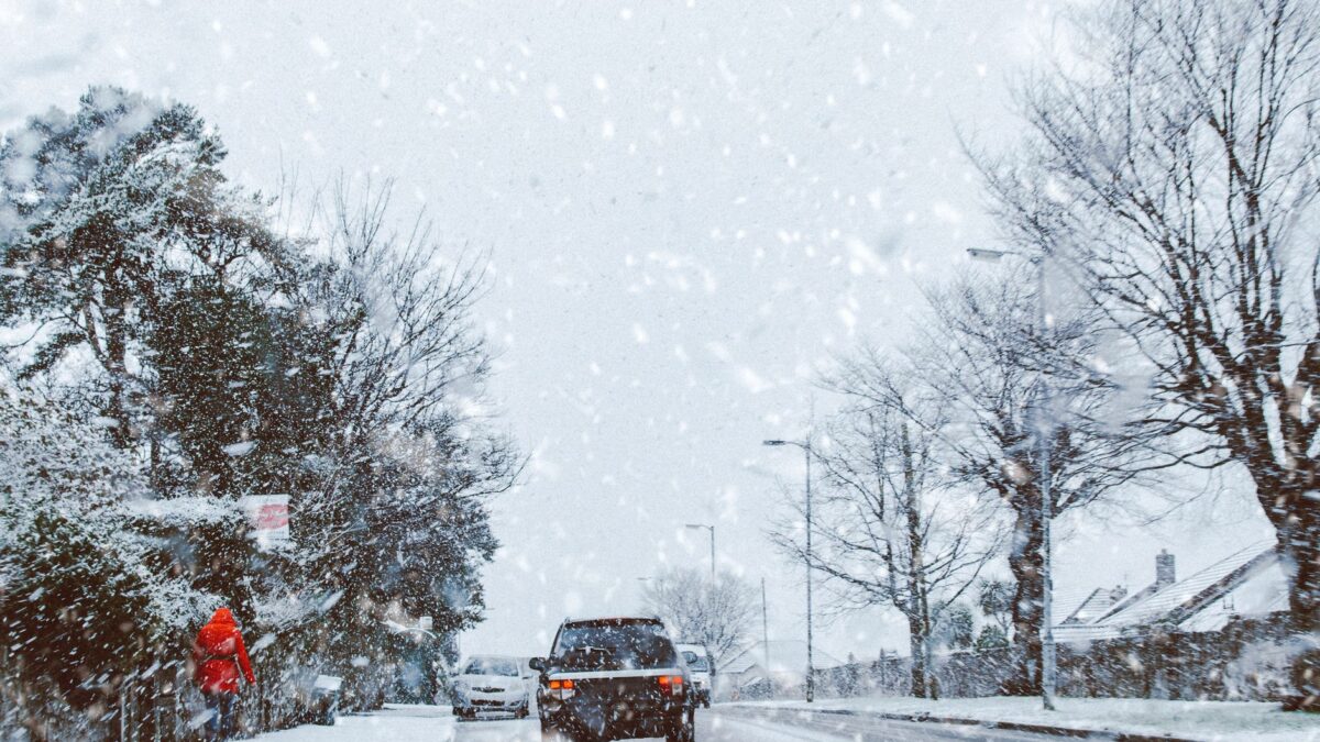
A sudden stratospheric warming struck the Arctic on Nov. 10, the earliest one in records that go back to 1958. Air about 20 miles up warmed quickly, by as much as 90 degrees Fahrenheit, according to reporting by The Philadelphia Inquirer. It happened while El Niño, the warming of the tropical Pacific, was approaching record intensity.
Forecasters say the pairing adds uncertainty to the winter outlook for the Northeast and much of the country.
How the Arctic cold gets loose
Strong west-to-east winds high in the atmosphere normally trap frigid air over the Arctic. About every two years, those winds slacken and then reverse, which lets the cold drift south. The reversal is what scientists call a sudden stratospheric warming, because the air up there heats so fast. It can take weeks before the effects reach the United States.
Laura Ciasto, a meteorologist with the National Weather Service’s Extended Prediction Division, said a disruption of the polar vortex can nudge the polar jet stream southward, “bringing the Arctic air with it.” The jet stream is the upper-air boundary between warm and cold air.
Where El Niño comes in
Amy H. Butler, an atmospheric researcher at the National Oceanic and Atmospheric Administration, wrote in a blog post on climate.us that El Niños may generate atmospheric waves that contribute to Arctic disruptions like this one. The warming in the Pacific is expected to last into the spring and to shift the west-to-east winds that carry weather across North America. One likely result is storms that strengthen in the Gulf and track up the East Coast, according to the Inquirer.
Heavy snow also needs cold air, and El Niño winters usually have less of it.
How sure is this?
Not very, and the forecasters say so. Ciasto told the Inquirer that “there is added uncertainty” this time. Only two other stratospheric warmings have occurred in November, both at the end of the month. The Arctic air is less frigid than it would be in January, and Northern Hemisphere snow cover is the third-lowest in extent in the last 30 years, according to the Rutgers University Climate Lab.
El Niño’s track record points toward warmth in December. Michelle L’Heureux, who heads NOAA’s El Niño/Southern Oscillation team, recalled that Philadelphia reached 68 degrees on a December day in 2015, the warmest December on record there. That winter had the last El Niño comparable in strength to this one.
National Centers for Environmental Information data show that nationally, temperatures were above normal in four of the six comparable El Niños. In Philadelphia, all six were warmer than normal. L’Heureux said the evidence for an El Niño role in this November’s warmth is weak and leans slightly toward below-normal temperatures. Paul Pastelok, a seasonal forecaster with AccuWeather, said El Niño is “just so overwhelming” whatever the polar vortex does, and he expects “storm after storm after storm.”
What forecasters expect near term
For Philadelphia, the next three days should be tranquil, with highs in the mid-60s. No precipitation is forecast until Sunday, when a coastal storm that fits the El Niño pattern could bring substantial rain across the region. The polar vortex is not expected to be a factor in that storm.
Seasonal outlooks are not forecasts for a specific day. Readers should follow official warnings from the National Weather Service and local authorities. Forecasters do not yet know how the early stratospheric warming and a near-record El Niño will interact, as weather forecasts for the weeks ahead depend on both.
Source: The Philadelphia Inquirer
Site editor: Nikita Sheikin