NASA Satellite Sees Sierra Nevada Turn White After a Foot of Snow
A NASA Terra image shows fresh snow on the Sierra Nevada after the Nov. 13 storm. Here is how much fell, what closed and what the NWS warns comes next.
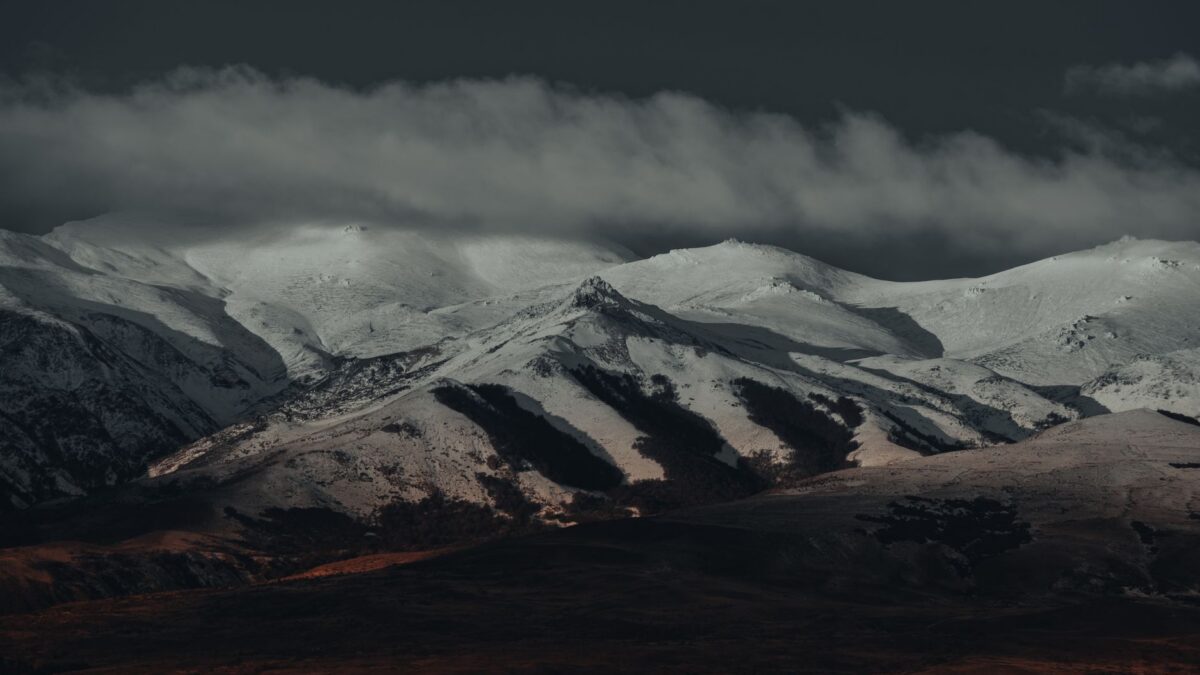
Nearly 12 inches (30 centimeters) of snow fell at Donner Pass on Nov. 13, and a NASA satellite image taken the next morning shows the Sierra Nevada in California covered in white. Two days before, the range was mostly bare, with snow only on the highest peaks.
The storm was one of the first major snowfalls of the water year, and more is on the way. The National Weather Service (NWS) has a winter storm warning in place for parts of the Sierra above 5,000 feet (1,500 meters) from Nov. 18 to 20.
What the satellite recorded
The picture comes from MODIS (Moderate Resolution Imaging Spectroradiometer), an instrument on NASA’s Terra satellite. It captured the range on the morning of Nov. 14, during a lull between two weather systems. NASA Earth Observatory paired it with an image from two days earlier to show the change.
A side-by-side comparison like this measures where snow lies. It does not give depth. The depth figures come from ground observers. The Central Sierra Snow Laboratory reported the Donner Pass total, northwest of Lake Tahoe. Farther south, Mammoth Mountain ski resort reported 9 to 13 inches (23 to 33 centimeters) of new snow.
Why the storm hit so hard
According to NASA, the Nov. 13 system was a moisture-laden storm off the Pacific. At lower elevations, around Sacramento, it fell as heavy rain. Higher up, colder air turned the same moisture into snow, and some mountain areas picked up around a foot.
It was the first in a quick run of Pacific storms bringing rain, snow and wind to the western U.S. in mid-November.
Roads and parks closed
The snow snarled traffic on Interstate 80 near Donner Pass, and officials closed the highway in both directions on the evening of Nov. 13. Yosemite National Park closed several roads ahead of the storm.
What the NWS warns comes next
The NWS warning for Nov. 18 to 20 covers elevations above 5,000 feet (1,500 meters). The agency said travel could become difficult to impossible, with gusty winds, and that around 4 feet (120 centimeters) of snow is possible above 8,000 feet (2,400 meters). These figures are the forecaster’s own; actual totals will vary by location. People in or traveling to the Sierra should follow NWS warnings and instructions from local authorities and road agencies.
What it means for the start of the snow season
The Nov. 13 storm gave the Sierra an early taste of winter and was one of the first major snowfalls of the water year, the yearly period used to track rain and snow. The before-and-after images show how fast the change came: bare slopes on one image, broad snow cover two days later. For drivers and visitors, it also brought the first highway and park road closures of the season, and the NWS warning means more mountain travel trouble is possible this week.
The images were made by Michala Garrison of NASA Earth Observatory using MODIS data from NASA’s EOSDIS LANCE and GIBS/Worldview systems.
Source: NASA