Santa Ana Winds Explained: Why They Are Hot, Dry and Fire-Prone
Santa Ana winds are dry, gusty offshore winds in Southern California, strongest in fall and winter. How they form and why they raise fire danger.
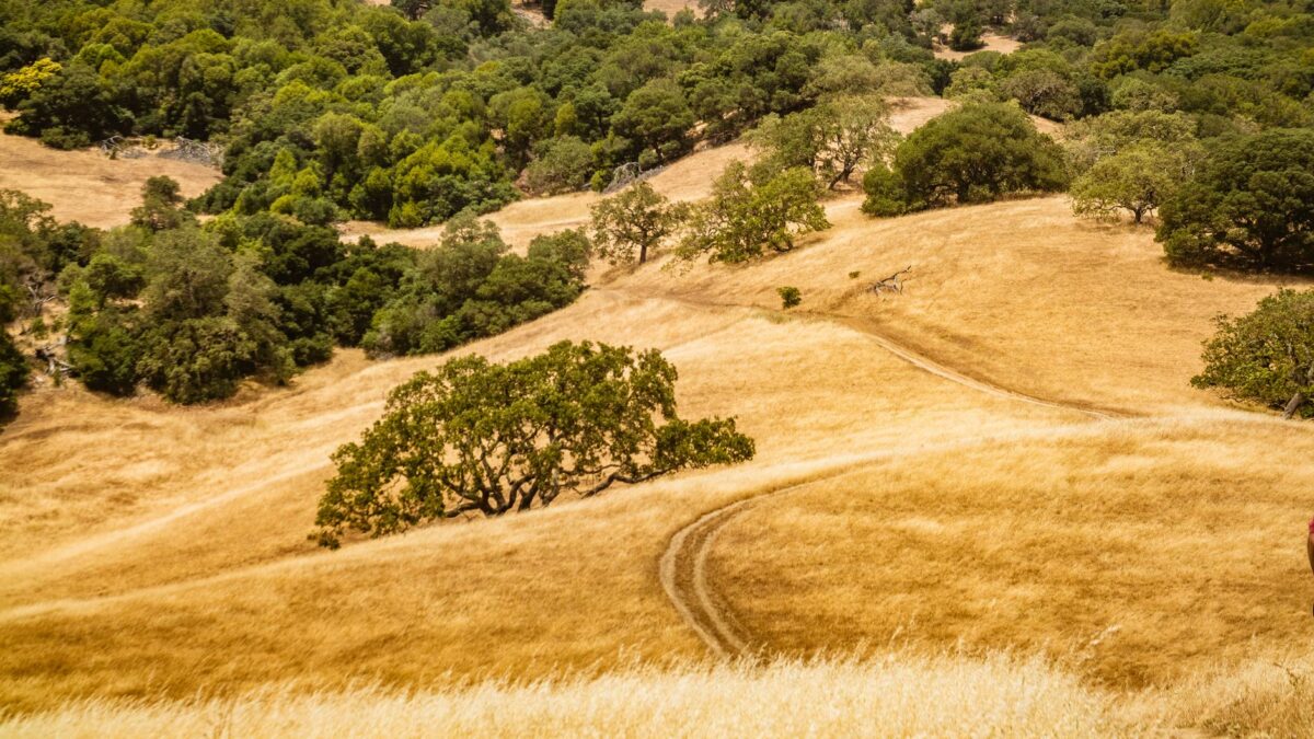
Santa Ana winds are strong, dry winds that blow from the inland deserts of the American Southwest toward the coast of Southern California. They are most common from fall through winter, and they arrive warm and very low in humidity. Those conditions dry out vegetation quickly and let a single spark spread fast, which is why the winds are tied to some of the region’s worst wildfires.
What causes Santa Ana winds?
High pressure builds over the Great Basin, the dry interior region between the Rocky Mountains and the Sierra Nevada. At the same time, lower pressure sits off the Southern California coast. Air flows from high pressure toward low pressure, so it moves from the desert interior toward the Pacific. Because the flow runs from land to sea, meteorologists call it an offshore wind.
The terrain shapes the wind too. Air spills over the mountains and funnels through passes and canyons, which squeezes it and makes it faster. Gusts are often strongest in and just below those gaps and in nearby foothills, while a spot a few miles away can stay fairly calm.
Why are Santa Ana winds so hot and dry?
The air starts out dry because it comes from the desert interior, where there is little moisture to pick up. It then sinks down the mountain slopes toward the coast. Sinking air is compressed by the higher pressure near the ground, and compressed air warms up. Warmer air can hold much more water vapor than it actually contains, so its relative humidity falls even lower.
The result is a warm wind in the middle of the cooler season, with relative humidity that can drop to very low levels. Winds that descend a mountain range and warm as they sink are called downslope winds, and the Santa Anas are one regional example. The same seasonal swing in temperature between the coast and the interior is part of the setup, and the delay in how land and ocean heat and cool is covered in our explainer on why January is colder than December.
When do Santa Ana winds happen?
They occur mainly between fall and early winter, when the interior cools and high pressure over the Great Basin is common. They can show up at other times of year, but less often. A single event usually lasts a few days, and the wind often rises and falls through the day, with strong gusts frequently arriving overnight and in the early morning.
Events differ a lot from one to the next. Some bring a breeze that mostly dries the air. Others bring gusts strong enough to knock down trees and power lines, particularly in canyons and foothills.
Why do Santa Ana winds raise fire danger?
Three things combine. The season comes after a long dry stretch, so grass and brush are already parched. The wind then dries them further and carries embers ahead of a fire, sometimes a long way. Finally, gusty air feeds a fire with oxygen and pushes flames across the ground quickly. Once a fire starts under these conditions, it can grow faster than firefighters can reach it.
The National Weather Service issues Red Flag Warnings when strong wind, low humidity and dry fuels come together. It also issues High Wind Warnings and Wind Advisories when gusts are strong enough to cause damage. Local alerts and forecasts are posted at the National Weather Service.
How well can forecasters predict a Santa Ana event?
Forecasters watch the pressure pattern over the Great Basin and the Pacific, along with wind direction and expected humidity. Computer models handle the overall setup well, but they are less precise about which canyon or ridge will see the strongest gusts, because terrain changes the wind over short distances. That mix of a predictable broad pattern and uncertain local detail resembles the problem described in our guide to the hurricane cone of uncertainty.
What should residents do during a Santa Ana wind event?
- Check local alerts and warnings for your area every day of the event.
- Secure loose outdoor items, since gusts can move patio furniture and trash bins.
- Avoid anything that can start a fire outdoors, such as grilling on dry grass, burning debris or parking a hot vehicle over tall dry vegetation.
- Follow evacuation orders from local officials promptly if a fire starts nearby.
- Prepare for possible power shutoffs, which some utilities use during extreme wind.
- Keep a bag with medications, documents and chargers ready if you live near wildland.
The National Interagency Fire Center is a federal source for wildfire information.
Common questions
Are Santa Ana winds the same as Diablo winds?
They are the same kind of wind in different places. Diablo winds blow in the San Francisco Bay Area and Santa Anas blow in Southern California. Both are dry offshore winds that come from the interior.
Do Santa Ana winds happen every year?
Some events occur in most years, mainly in fall and winter. How strong they get, and how many days they last, changes from year to year.
Why are they called Santa Ana winds?
The name is usually connected to the Santa Ana area of Southern California, where the winds are often strong. The exact origin is debated, so treat any single story with caution.
Site editor: Nikita Sheikin