Eclipse Weather Odds July 22, 2028: Cloud Risk Across Australia
Average July cloud along the 2028 eclipse track never tops 40 percent and stays below 10 percent in the west. See where the odds get worse.
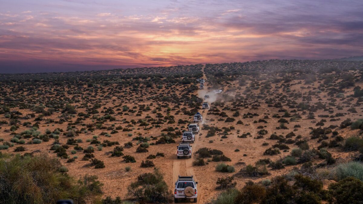
Cloud odds are good along most of the path of the July 22, 2028 total solar eclipse across Australia. Satellite observations put average July daytime cloud on the centerline at no more than 40 percent, and from the Indian Ocean coast of Western Australia to Karlu Karlu (also called the Devils Marbles) the figure stays below 10 percent. The odds weaken toward the Blue Mountains and the Pacific coast near Sydney.
The figures below come from the climatology on Eclipsophile, which combines satellite cloud estimates with weather-station records, and from the eclipse timings on timeanddate. They describe long-term averages for July, not a forecast for the day.
How cloudy is the eclipse track in July?
The eclipse falls in the dry winter season of northern Australia. Eclipsophile rates weather prospects as excellent to very good on the west side of the Great Dividing Range, the 3,600 km mountain chain that runs along the Pacific coast, and as fair to middling over the Blue Mountains and the coast.
Average daytime cloud on the centerline never climbs above 40 percent in the satellite record. Over the western stretch, from the Indian Ocean coast to Karlu Karlu, where the Stuart Highway crosses the track, it stays below 10 percent.
What do weather stations say about sunshine?
Station measurements agree with the satellites, though there are fewer of them. Sunshine covers more than 93 percent of daytime hours at Halls Creek and runs in the upper 80s percent at Rabbit Flat and Alice Springs. All three stations lie south of the track. Together with the sunshine record at Tennant Creek, they suggest that sunny hours on the track in this part of the Outback exceed 90 percent.
Where sunshine records are missing, the site uses counts of sunny and cloudy days instead. Cloud is estimated in oktas, or eighths of the sky covered. A sunny day has 2 oktas or less, a cloudy day has 6 oktas or more, and anything between is partly cloudy. Each value averages a mid-morning and a mid-afternoon observation.
Where does cloud increase along the path?
Past Karlu Karlu, cloudiness climbs slowly. It reaches just under 40 percent at Mudgee and runs a little higher off the centerline on the southern side of the path. The rise comes from the track moving to lower latitudes, where winter weather systems have more effect, and from the Blue Mountains. A passing disturbance brings thicker, longer-lasting cloud and heavier precipitation when it meets the mountains, a pattern visible in the records for Dubbo and Mudgee. Even so, the mountains lift average July cloudiness only to between 35 and 50 percent beneath the track.
Two bumps of about 25 percent appear in the cloud graph east of Bedourie, at Lake Machattie and Lake Yamma Yamma. Eclipsophile says these are artifacts: bright salt lakes that satellite algorithms sometimes mistake for cloud. A dashed line on its graph shows the likelier trend.
What changes near Sydney?
After Mudgee the shadow descends the eastern slopes of the Blue Mountains into the western suburbs of Sydney. Average cloudiness on the centerline drops by about 8 percent as the ground falls, because sinking air tends to dry out on the way down a slope.
The coastal plain is only 10 to 50 km wide, so onshore ocean winds face a steep climb when they meet the land. Westerly winds descend from the same heights, which means a shift in wind direction can change the weather a great deal. For a closer look at timing in the east, see eclipse times for Sydney and Perth.
What does the terrain mean for choosing a spot?
The track comes ashore on rough country that is almost impossible to reach by land. About 70 km inland on the centerline it crosses the Mitchell Plateau, which has rough back-country roads. The Gibb River Road reaches the centerline 150 km from its turnoff on the Great Northern Highway west of Kununurra. The paved Great Northern Highway passes Doon Doon Station and also reaches the eclipse axis, with less adventure. Drivers with a 4WD vehicle can detour to the Bungle Bungles in Purnululu National Park, but totality is shorter there.
Much of the Outback has few sealed roads, long stretches without fuel or lodging, and tracks that call for a 4WD. Elevations along the track top out at around 1,200 meters. About 2,500 km along, shortly after Bourke, the land begins to rise toward the Blue Mountains. Between Bedourie and Thargomindah the ground is flat and the horizon is open.
When does the eclipse happen?
According to timeanddate, the partial eclipse begins at the first location at 00:27:37 UTC on July 22, and totality starts at 01:30:43 UTC. Maximum eclipse comes at 02:55:29 UTC. Totality ends at its last location at 04:20:04 UTC, and the partial eclipse ends at 05:23:11 UTC. Those times mark stages across the whole world, with each line referring to a different spot, and timeanddate calculated them with a Delta T of 70.0 seconds.
In Australia the eclipse runs from 09:07 AWST to 15:49 LHST, and in New Zealand from 15:03 NZST to 17:23 NZST. Christmas Island and the Cocos (Keeling) Islands also see totality. Timeanddate also tallies how many residents fall inside the zone of totality and how many can see a partial eclipse, using population data from Columbia University’s CIESIN.
What about New Zealand?
The sources used here give New Zealand’s eclipse times but no cloud statistics for it. Check a New Zealand weather service for local outlooks, and see our guide to eclipse times in Queenstown, Dunedin and Auckland. For a comparison with another path, the cloud odds for the Aug. 2, 2027 eclipse use the same approach.
Tips for visiting
- Averages show likelihood, not the weather on eclipse day. Watch the forecast from your national weather service in the days before.
- The far west of the track has the lowest long-term cloud, but also the fewest roads and services.
- Near the Blue Mountains and the coast, wind direction can change cloud quickly, so keep the option of moving.
- Visibility depends on location and weather, and a partial eclipse needs eye protection throughout.
Where to check
The Eclipsophile page for the 2028 eclipse carries the cloud climatology and route notes, and timeanddate has the timings and interactive maps. Use your national weather service for forecasts close to the date.
Based on the sources linked above, November 2026.
Site editor: Nikita Sheikin