Hurricane Cone of Uncertainty Explained: Two-Thirds Rule and Limits
The hurricane cone shows where a storm's center is likely to go, not how big the storm is or where damage will happen. See what it covers and misses.
The hurricane cone of uncertainty shows the probable path of the center of a tropical storm or hurricane. It does not show the size of the storm, the area that will see wind or flooding, or how strong it will be at any point. The National Hurricane Center (NHC) draws the cone so that the storm’s center is expected to stay inside it about two-thirds of the time, which means the center is also expected to fall outside it roughly one time in three.
The cone is a narrow tool for a narrow question, and most misreadings come from asking it more than it can answer.
What does the cone actually show?
The cone is built from a forecast track, the line of dots showing where forecasters expect the center to be at set times. Around each dot the NHC draws a circle, and the circles grow with time because forecasts get less certain the further out they go. A smooth outline around the circles forms the cone. The National Hurricane Center explains that the circle sizes come from how far off its official forecasts have been in recent years, so the cone reflects real past track errors.
What does the two-thirds rule mean?
The cone gives odds for the center only. Across many storms, the center stayed within the cone about two-thirds of the time. A storm that wanders outside it is not a failure of the forecast, because the cone was never drawn to catch everything.
Does the cone show how big the storm is?
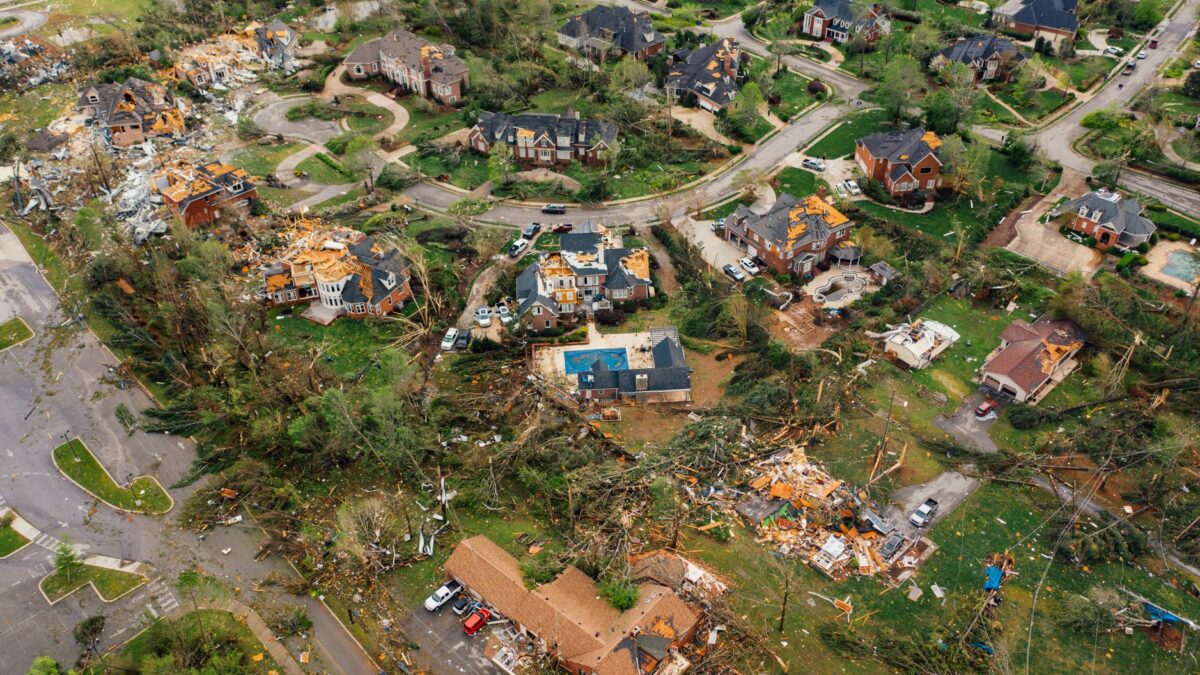
No. The cone is the same shape for a compact storm and a very large one. Hurricane-force winds can reach well beyond the center, and tropical-storm-force winds reach farther still. People outside the cone can still see dangerous wind, heavy rain and flooding.
What hazards does the cone leave out?
- Storm surge, the rise of seawater pushed onto land, which can be worst on a coast far from the center.
- Heavy rain and inland flooding, which can hit places hundreds of miles from the landfall point.
- Tornadoes, which often form in bands of a storm away from the center.
- Strong wind gusts on either side of the track.
The NHC publishes separate products for these hazards, such as storm surge watches and warnings, rainfall outlooks and maps of wind arrival times. Reading the cone alone gives an incomplete picture.
Why can the cone mislead people?
A place just outside the cone’s edge can look safe on a map while a place near the middle looks doomed. Neither impression is right. The cone says nothing about damage, and the center line is not a bullseye.
Intensity is a second source of confusion. The cone says where the center goes, not how strong the storm becomes. Strength forecasts have their own errors, and a storm can strengthen or weaken quickly before reaching land.
What should you use alongside it?
Watches and warnings are the main official signals. A hurricane watch means hurricane conditions are possible in the area, and a hurricane warning means they are expected. Local emergency managers decide on evacuations, and those orders matter more than any single map. The federal site Ready.gov lists preparation steps for households. Follow local officials and the National Weather Service for the latest advisories.
Common questions
Is the cone bigger for stronger hurricanes?
No. The width reflects past forecast errors for track, not the strength or size of the storm. A weak storm and a major hurricane can have identical cones.
Why does the cone get wider farther out?
Small errors in a storm’s speed and direction add up over time, so forecasts several days ahead are less certain than those for tomorrow. The wider cone shows that growing uncertainty.
Should I only worry if I am in the cone?
No. Wind, rain, surge and tornadoes can affect areas outside the cone. Check the watches and warnings issued for your own county or coast, and follow local officials.
Site editor: Nikita Sheikin