October 2026 Ranks Fourth Warmest in 132 Years of US Records
NOAA ranked October 2026 the fourth warmest in 132 years for the lower 48 states, with floods in the Southwest and record high tides on the coasts.
October 2026 was the fourth warmest October in 132 years of records for the contiguous 48 U.S. states, NOAA reported on Monday, according to Yale Climate Connections. Only 1963, 2024 and 1947 were warmer. The first 10 months of the year are the hottest January-to-October stretch on record.
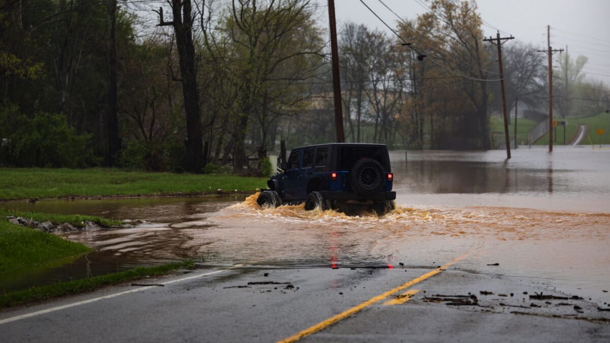
The same month brought flooding rain to several western and southern states and record-high coastal water levels in southern California and Florida.
How warm the month and the year have been
The warmth was spread widely. All but two of the 48 states were warmer than average, and 32 ranked “much above average,” meaning they fell in the warmest 10% of Octobers. No state had its warmest October, but Arkansas and Missouri each recorded their second warmest, and 12 other states placed among the top five.
July, August and September, along with March, each set a monthly U.S. heat record this year. For January through October, the national average was 59.19°F, nearly a full degree Fahrenheit above the 58.34°F of the same period in 2012, the previous record.
Yale Climate Connections notes that 2026 would finish as the hottest year on record if November and December together average at least 37°F. Every year this century except 2013 has topped that mark.
Drought eased while floods hit the Southwest
Nationally, October ranked 51st wettest in 132 years of data, which hides large differences between regions. A total of 22 states were drier than average, and Mississippi had its 13th-driest October. The U.S. Drought Monitor shows the share of the contiguous U.S. in severe to exceptional drought fell from around 31% to around 23%.
Only 11 states were wetter than average, but they included most of the larger southwest and south-central states. Arizona, Colorado, Nevada and Utah each had a top-ten-wettest October, as did Florida, in each case because of torrential flooding rain.
Colorado state climatologist Russ Schumacher described the Oct. 21-25 rains in normally arid areas such as the San Luis Valley as “among the most extreme storms in state history.” The Land Desk, a Substack newsletter, reported that the Piedra River, a tributary of the San Juan River, reached streamflow more than twice as high as any other in data going back to 1964.
The Navajo Nation, home to some 173,000 residents across parts of New Mexico, Arizona and Utah, has been hit repeatedly since mid-September. Moisture from decaying hurricanes of the record-busy Eastern Pacific season worsened several of the rain episodes. Many homes were damaged and many roads are still covered in mud. Navajo Nation President Buu Nygren said in a TV interview that total damage will likely far exceed a $20 million fund set up on Oct. 30 for road and home repairs and related equipment.
Record water levels on the coasts
Preliminary NOAA data show the morning high tide on Oct. 26 brought the highest coastal water levels in more than a century of records to both San Diego and Los Angeles. Of the 30 top-10 entries for California’s three largest coastal cities, eight are now from 2026.
In Miami, coastal waters reached the “Moderate” flooding threshold for 11 days in a row, a record streak that ended Nov. 1. Four of the highest water levels recorded at the Virginia Key tide gauge, installed in 1994, came during October’s king tides. A king tide is an unusually high tide driven by the alignment of astronomical forces. Yale Climate Connections attributes the high water to a mix of long-term warming and ocean expansion, persistent onshore winds and king tides that are unusually large this autumn.
What this means for flood risk in Miami
Sea level at Miami has risen about 1.12 feet since 1931. A flood that reached 1.33 feet above average high tide would have been a one-in-10-year event in 1931. It occurred on 24 days between Sept. 25 and Nov. 2 this year, according to the analysis by Jeff Masters.
Anyone in a flood-prone area should follow official warnings from NOAA and the National Weather Service and instructions from local authorities.
Source: Yale Climate Connections