Jet Stream Explained: How It Forms and Steers Weather
The jet stream is a fast river of air high in the atmosphere that steers storms and fronts. Learn how it forms, why it shifts and what it does to weather.
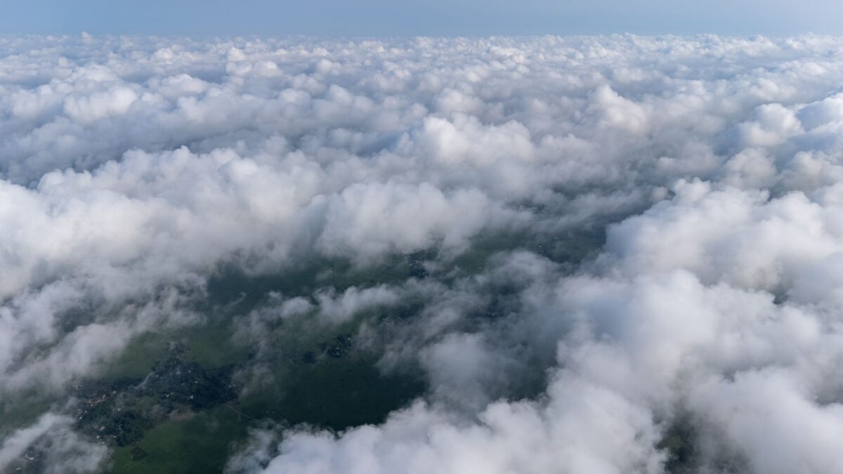
The jet stream is a narrow, fast-moving band of wind high in the atmosphere, usually 5 to 9 miles (8 to 14 km) above the ground, that blows from west to east around the planet. Winds in its core commonly top 100 mph (160 km/h) and can pass 200 mph (320 km/h). It steers storm systems and separates warm air from cold air, which is why forecasters watch its position closely.
What is the jet stream?
The jet stream is a ribbon of strong wind near the top of the troposphere, the lowest layer of the atmosphere, where almost all weather happens. It is typically a few hundred miles wide but only a mile or two deep, so it behaves like a river of air inside much calmer surroundings.
Each hemisphere has two main jet streams. The polar jet runs at mid-latitudes and is the one that most often affects weather in the United States, Canada and Europe. The subtropical jet runs closer to the equator and sits higher in the atmosphere. Both flow generally from west to east, although the path bends north and south along the way.
What causes the jet stream?
Temperature contrast drives it, and Earth’s rotation shapes it. Air near the equator is much warmer than air near the poles. Where warm and cold air masses meet, the pressure difference between them grows with altitude and pushes air from the warm side toward the cold side. Because the planet rotates, moving air is deflected, known as the Coriolis effect, and the flow bends into a strong west-to-east wind instead of running straight toward the pole.
The sharper the temperature difference across a boundary, the faster the wind. That explains why the jet is strongest where a large gradient exists and weaker where the air is more uniform.
Why does the jet stream wiggle?
The jet stream rarely runs in a straight line. It develops long waves, called Rossby waves, with big bends that reach toward the pole and others that dip toward the equator. Meteorologists call a bend that dips south a trough and a bend that arches north a ridge.
- Under a trough, cooler air from the north spreads south and storms tend to develop.
- Under a ridge, warmer air spreads north and the weather is often drier and calmer.
The waves move, grow and fade over days, and a change in their shape can alter the weather in a region from one week to the next.
How does the jet stream steer weather?
It acts as both a track and a fuel source for storms. Low-pressure systems usually travel along or beside the jet, so where the jet runs often decides where rain, snow and wind arrive. The jet also helps storms strengthen: air that rises in the right place relative to the jet can pull in more air at the surface, deepening a low-pressure area.
The jet stream also marks the boundary between air masses. When it dips far south, cold air can reach regions that are normally mild. When it bulges north, heat can spread well beyond its usual range. Forecast models track the jet closely for this reason, and the topic is covered further in the guide to how weather forecasts work and how accurate they are.
Why is the jet stream stronger in winter?
The temperature difference between the poles and the tropics is larger in winter, because the polar regions lose heat during their long nights. A bigger contrast produces faster winds, so the jet is typically stronger in the colder months. It also shifts toward the equator in winter and back toward the pole in summer, which is one reason winter storms can reach far south while summer storm tracks sit farther north.
Does the jet stream affect flights?
Yes. A flight traveling east with the jet can finish noticeably sooner than one traveling west against it, and airlines choose routes with the winds in mind. The edges of the jet can also produce clear-air turbulence, which is bumpiness in cloudless sky that pilots and radar cannot easily see. Passengers who keep their seat belts fastened while seated are following standard aviation safety guidance.
Is the jet stream changing with the climate?
Scientists are still working on this question. The Arctic has warmed faster than lower latitudes, which reduces the temperature contrast that powers the jet, and some researchers have proposed that this could make the waves slower or more wavy. Other studies find the evidence for such a link weak or limited to certain regions and seasons, so it remains an active research topic and not a settled conclusion. The National Weather Service offers a plain-language overview of jet streams in its JetStream online school, and Climate.gov from NOAA covers current climate research.
Quick answers
How fast is the jet stream?
Typical core speeds are above 100 mph (160 km/h), and the fastest sections can exceed 200 mph (320 km/h). Speeds vary by season and location.
Can you see the jet stream?
Not directly. It is invisible, but long, thin cirrus clouds sometimes line up along its edges, and weather maps show it as a band of strong upper-level winds.
What is a polar vortex, and is it the same thing?
No. The polar vortex is a large area of low pressure and cold air circling the pole, high above the surface. The jet stream flows around its edge. When the jet bends far south, pieces of that cold air can reach lower latitudes.
What happens when the jet stream stalls?
If the waves stop moving, a pattern called blocking can set in. The same weather, such as heat, rain or cold, can persist over one region for days.