Early Polar Vortex Breakdown to Bring Cold Snap by Thanksgiving
An unusually early polar vortex breakdown is expected to send Arctic air into the U.S. around Thanksgiving, cutting across El Niño's warmer pattern.
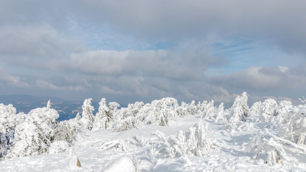
The polar vortex is falling apart much earlier than normal this season, and forecasters expect Arctic air to reach the United States around Thanksgiving. Newsweek reported that the chill cuts against the mild winter a strengthening El Niño usually brings to the northern part of the country.
AccuWeather long-range forecaster Paul Pastelok told Newsweek the situation is “unprecedented.” Stratospheric warming events of this size are rarely seen in November, he said.
What is happening above the Arctic
According to the National Weather Service (NWS), the polar vortex is a broad zone of cold, low-pressure air around each of Earth’s poles. It exists all year, weaker in summer and stronger in winter. When stratospheric winds are strong and steady, they pen the coldest air near the Arctic, so little of it drifts toward the U.S.
In a sudden stratospheric warming (SSW), the stratosphere heats rapidly and the winds can falter or even reverse. NOAA’s National Environmental Satellite, Data, and Information Service says that as the vortex weakens, parts of the cold Arctic air can split off and head south. Research involving NOAA scientists finds that a weakened vortex can push pockets of cold air well beyond their usual reach, though forecasting the exact timing and place is still hard.
Meteorologists first flagged an SSW forming at the end of October, which is early. Such events are more typical of January and February.
Why this cold snap may be milder than a midwinter one
When the vortex breaks down in midwinter, Canada usually has deep snow cover that keeps the air cold, so U.S. cold spells can be stronger and last longer. Pastelok said that snow is not there yet, so this plunge should be weaker and shorter.
Effects are still on the way. Pastelok said the breakdown is probably feeding a system that brings cold rain and high-elevation snow to the Northeast and Mid-Atlantic this weekend. More weather is forecast for Thanksgiving weekend and the first week of December. Parts of the Northern Rockies, Montana, the Dakotas, the Midwest and the Great Lakes could see their first snow of the season over the holiday.
For background, see this explainer on how the polar vortex sends Arctic cold south.
Why it matters: a forecast that may reverse
El Niño usually makes the northern U.S. warmer and drier. Matt Jones, a meteorologist at the Weather Channel, told Newsweek that the SSW will “flip” the outlook for areas that expected a mild, dry winter. He said more cold air and snow are likely there, but it is too soon to say how cold or how snowy.
Because the U.S. has been warmer than normal this fall, Pastelok said, the drop could feel jarring. He added that many forecasts do not yet account for the SSW.
What the official outlook shows
The NWS Climate Prediction Center’s outlook for the next eight to 14 days favors above-average temperatures for most of the country, with a small chance of below-average readings in the Southwest. Most areas also lean toward above-average precipitation, a window that includes Thanksgiving Day. Newsweek notes that if the cold spreads while the precipitation odds hold, widespread snow would be possible.
Readers should follow warnings from the National Weather Service and local authorities.
Source: Newsweek