How Tsunamis Form and Why They Are Not Ordinary Waves
A tsunami starts when the seafloor or a mountainside moves water from the bottom up. Here is how that becomes a fast, ocean-crossing wave, what the warning signs are and what NOAA's alerts mean.
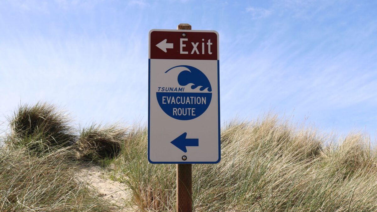
A tsunami forms when something suddenly moves a huge volume of seawater, most often a large earthquake that lifts or drops the seafloor. The disturbance runs through the whole depth of the ocean, so the wave can cross an ocean basin at more than 500 mph (800 km/h), according to the National Weather Service. Near shore it slows, piles up and comes ashore as a fast-rising flood rather than a breaking surf wave.
Tsunamis are rare in any one place but can reach coasts thousands of miles from where they started. Knowing the natural warning signs, and what NOAA’s alerts mean, gives people the minutes or hours they need to move to higher ground.
What causes a tsunami?
Large earthquakes under or near the ocean floor are the most common cause, according to NOAA’s tsunami warning program. The FAQ on tsunami.gov says an earthquake usually needs to be larger than magnitude 7.0 and shallower than about 100 km (62 miles) to generate a tsunami. Subduction zones, where one tectonic plate slides beneath another, produce the biggest ones, because the seafloor can jump up or down along hundreds of miles of fault.
Other triggers also displace water:
- Landslides into the sea or a bay, or underwater slope collapses
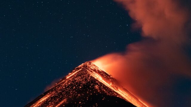
- Volcanic eruptions, through explosions, collapsing slopes or pyroclastic flows entering the water
- Rarely, sharp air pressure changes in storms (meteotsunamis) or a space rock hitting the ocean
Landslide tsunamis can be extreme close to the source. In Lituya Bay, Alaska, on July 9, 1958, a magnitude 7.9 earthquake set off a rockfall that sent water 524 m (1,719 feet) up the opposite mountainside, according to the US Geological Survey. Waves like this usually lose energy fast and stay local, unlike earthquake tsunamis that cross oceans.
Earthquake size matters a great deal. Our explainer on how earthquakes are measured shows how much more energy each step on the magnitude scale carries.
Why is a tsunami so fast but so low at sea?
A tsunami is fast because it moves the entire water column, from the surface to the seafloor, and its speed depends on water depth. In the deep ocean it can travel faster than 500 mph, about the speed of a jet. The NWS gives the example of about 475 mph in water 15,000 feet deep.
Out at sea the wave is long and low. NOAA says tsunami waves in deep water are rarely more than three feet high, and their wavelengths are very long, so ships often do not notice them pass. As the wave reaches shallow water near the coast, it slows to roughly 20 to 30 mph, about the speed of a car. The back of the wave catches up with the front, and the water piles up in height.
| Where | Typical speed | Typical height |
|---|---|---|
| Deep ocean | Over 500 mph (800 km/h) | Rarely over 3 ft (1 m) |
| Near shore | About 20-30 mph (30-50 km/h) | Most under 10 ft (3 m); extreme cases over 100 ft (30 m) near the source |
Figures from NOAA and the National Weather Service tsunami FAQ.
What does a tsunami look like when it reaches the coast?
A tsunami usually looks like a fast-rising tide or a wall of churning, debris-filled water that keeps coming, not a curling surf wave. Because the wave is so long, water can keep flowing inland for many minutes, then rush back out with great force.
A tsunami is a series of waves, and the first is often not the largest. NOAA says the time between crests can range from about 5 minutes to 2 hours, and dangerous currents can continue for hours or even days. The old name “tidal wave” is wrong: tides come from the pull of the Moon and Sun, and tsunamis have nothing to do with them.
What are the natural warning signs of a tsunami?
The main natural warnings are a strong or long earthquake near the coast, a sudden drop in sea level that exposes the seafloor, and a loud roar from the ocean, according to NOAA. Any one of them is a reason to leave right away, without waiting for an official alert.
NOAA’s advice for people at the coast:
- If the ground shakes hard, drop, cover and hold on until the shaking stops.
- Then move immediately to high ground or inland, on foot if roads are jammed.
- Aim for at least 100 feet (30 m) above sea level or about a mile (1.6 km) inland; if you cannot get that far, go as high and as far as you can.
- Stay away until officials say it is safe, because later waves can be larger.
Many coastal towns in the Pacific Northwest, Alaska, Hawaii and California post tsunami evacuation route signs. Learning the route before a visit is the simplest preparation.
How do NOAA tsunami warning centers detect a tsunami?
NOAA runs two tsunami warning centers. The National Tsunami Warning Center in Palmer, Alaska, covers the continental US, Alaska and Canada. The Pacific Tsunami Warning Center in Honolulu covers Hawaii, US Pacific and Caribbean territories and the British Virgin Islands, and sends threat messages to international partners.
The centers first use seismometers to locate a large earthquake within minutes and judge whether it could move the seafloor. They then check sea level gauges along coasts and DART buoys (Deep-ocean Assessment and Reporting of Tsunamis) in the open ocean. Each DART station has a pressure sensor on the seafloor that can detect the extra weight of water as a tsunami passes, and a surface buoy that relays the reading by satellite. NOAA’s FAQ lists 39 US DART systems as of 2016, spread across the Pacific, Atlantic, Gulf and Caribbean.
What is the difference between a tsunami warning, advisory and watch?
A warning means dangerous flooding is expected or happening; an advisory means strong currents but little flooding; a watch means a tsunami might affect the area later.
| Alert | What it means | What to do |
|---|---|---|
| Tsunami warning | A tsunami that could cause widespread flooding is expected or occurring. NOAA issues one when waves over about 1 m (3.3 ft) are forecast or the impact is unknown. | Move to high ground or inland now; follow local officials. |
| Tsunami advisory | Strong currents and waves are a danger to people in or very near the water; major flooding is not expected. | Get out of the water and away from beaches and harbors. |
| Tsunami watch | A distant earthquake has happened and a tsunami may later affect the area. | Stay alert and be ready to act if it is upgraded. |
| Tsunami threat | A message for international partners in the Pacific and Caribbean. | Follow your own country’s warning service. |
Alerts reach the public through NOAA Weather Radio, phone emergency alerts, local officials and broadcasts. Current messages are posted on tsunami.gov.
Bottom line
A tsunami starts when an earthquake, landslide or eruption suddenly shoves the whole depth of the ocean. It crosses deep water at jet speed while staying low, then slows and builds at the coast into a long, powerful surge. Strong shaking, a sudden retreat of the sea or a roar from the ocean means move to high ground at once, and stay there through the later waves.
FAQ
Can you surf a tsunami?
No. A tsunami is not a breaking wave you can ride; it is a fast flood of water carrying debris, often for many minutes. People in the water during a tsunami face strong currents that can pull them out to sea.
How much warning do people get?
It depends on distance. Near the source, the wave can arrive within minutes, so natural signs are the only warning. For a tsunami from across the Pacific, warning centers can give hours of notice.
Does every big undersea earthquake cause a tsunami?
No. The fault has to move the seafloor up or down by enough, and deep or sideways-slipping quakes may not. That is why warning centers check sea level data before canceling or upgrading alerts, and why scientists cannot predict earthquakes ahead of time.
Where in the US are tsunamis most likely?
Hawaii, Alaska and the West Coast face the highest risk because the Pacific is ringed by subduction zones. Puerto Rico, the US Virgin Islands and parts of the Atlantic and Gulf coasts also have some risk.