Met Office Snow Warning Covers Seven UK Regions on Tuesday Morning
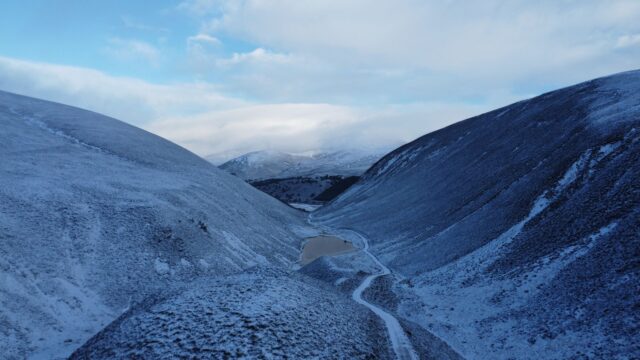
The Met Office has a yellow snow warning for seven UK regions from midnight to midday on Nov. 17. Hills above 300-400m could see 5-15 cm.
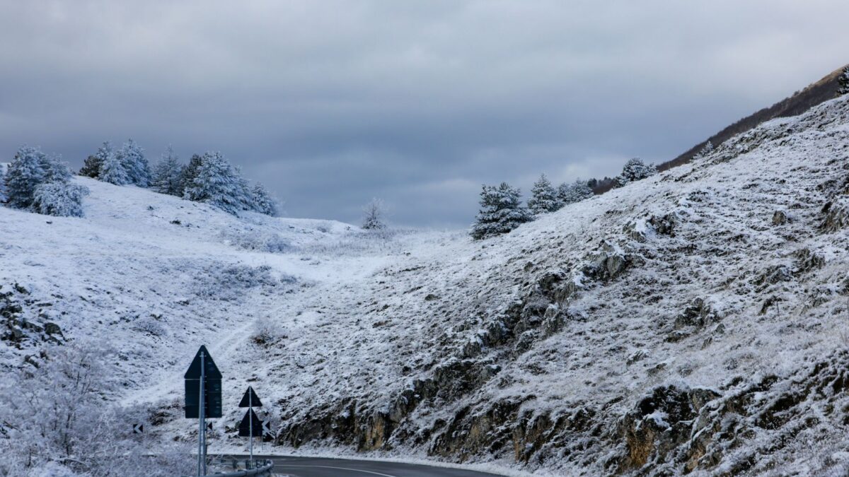
The Met Office has issued a yellow warning for snow across seven regions of the UK, from the Midlands through northern England into Scotland, the Daily Express reported. It runs from midnight on Tuesday, Nov. 17, until midday the same day.
Where snow settles, the forecaster expects depths of 1-5cm, and some places above 300-400m could get 5-15 cm. The Met Office said the snow “may cause disruption on high ground” during the morning.
Why rain is expected to turn to snow
A band of rain is forecast to move north across the UK through Monday night and Tuesday morning. Over the warning area it meets colder air, and the Met Office says the rain is likely to fall as snow for a time.
Height above sea level decides who sees it. The snow is expected mainly at 100 m altitude or higher. Lower down, any snow is more likely to be short-lived and melt quickly.
A strong easterly wind is forecast as well. On higher routes it could blow the snow into drifts in places, and the forecaster said ice may build up on infrastructure such as power lines. The snow then turns back to rain from the south as Tuesday morning goes on.
Areas named in the warning
- East Midlands: Derbyshire and Nottinghamshire
- North East England: Darlington, Durham, Gateshead, Newcastle upon Tyne and Northumberland
- North West England: Blackburn with Darwen, Cheshire East, Cumbria, Greater Manchester and Lancashire
- Strathclyde: East Ayrshire, South Ayrshire and South Lanarkshire
- SW Scotland, Lothian Borders: Dumfries and Galloway, Midlothian and the Scottish Borders
- West Midlands: Staffordshire and Stoke-on-Trent
- Yorkshire and Humber: North Yorkshire, South Yorkshire and West Yorkshire
What it means for travel and power
The Met Office rates the warning as high likelihood (50 to 75%) with a moderate impact. It says some roads and railways are likely to be affected, with longer journeys by road, bus and train. There is a small chance of power cuts or weaker mobile phone service.
The warning falls across the Tuesday morning commute, and the higher routes in the listed areas are the ones the forecaster singles out.
The forecaster’s guidance for people in the warning area is to plan routes, allow extra time, and check for road closures and public transport delays. For drivers it lists items to carry in case of delays, among them warm clothing, food, water, a blanket, a torch, an ice scraper and a phone charger.
Ice warning comes first
A separate yellow warning for ice is in force from 6 p.m. on Sunday, Nov. 15, until 10 a.m. on Monday across much of Scotland and northern England. The Met Office said icy stretches forming overnight are likely to make driving difficult.
Warnings can change quickly, the Met Office said, and it recommends keeping up with the forecast for your own area. Readers in the affected regions should follow official Met Office warnings and the instructions of local authorities.
Source: Daily Express