UK Met Office Warns of Hill Blizzards, 60mph Gusts and -8C Tuesday
A Met Office yellow snow warning covers northern England and southern Scotland on Tuesday. Why the snow forms and who is affected.
The Met Office, the UK’s national forecaster, has issued a yellow warning for snow across northern England and southern Scotland from midnight until 12pm on Tuesday, with gusts of up to 60mph on high ground and temperatures that could drop as low as -8C, the Daily Mail reported.
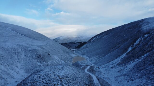
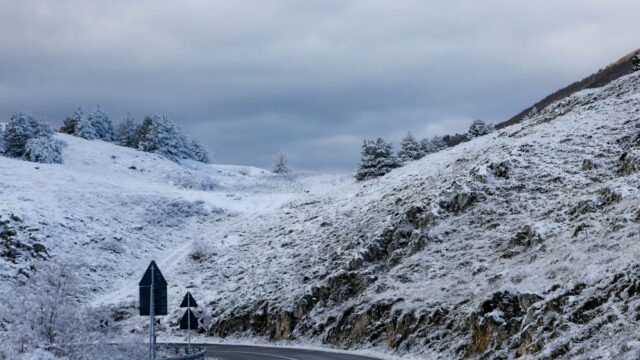
Most of the snow is forecast for the hills. Met Office meteorologist Aidan McGivern said significant and disruptive snow is likely above 300m in northern England and above 150-200m in southern Scotland during the early hours of Tuesday.
Why a mild, wet system is producing snow
The UK has been sitting under cold air for several days. McGivern said the next weather system to arrive carries milder air and heavy rain for the south, and it runs into that colder air farther north. From mid-Wales northward, the meeting of the two brings what he called wintry hazards from Monday night into the start of Tuesday.
The first effects are expected on Monday evening, when freezing rain or snow is likely on upland parts of mid to north Wales while lower ground gets rain. The system then moves into the colder air over northern England and southern Scotland in the early hours of Tuesday.
Winds strengthen at the same time, with gusts of 50-60mph. McGivern said that combination makes conditions hazardous on upland parts of northern England and southern Scotland, with a risk of drifting snow, blizzards and ice accretion, the build-up of ice on surfaces such as power lines.
The split between hill snow and valley rain depends on how cold it has to be for snow to fall, and the forecast puts most towns and cities on the rain side. “For where most people live, it will be wet weather rather than wintry weather,” McGivern said.
Where and when the warnings apply
According to the Daily Mail, the snow warning covers the East Midlands, North East England, North West England, Strathclyde, South West Scotland, the West Midlands, and Yorkshire and the Humber.
A separate yellow warning for ice runs from 6pm on Monday until 10am on Tuesday for Scotland and the north of England. The Met Office said icy stretches will form overnight and are likely to make driving difficult.
In northern Scotland, wintry showers are expected to add to the ice on Monday. The Met Office said snow will fall to low levels for a time before becoming mostly confined to higher ground late in the night. It expects no more than 1-2cm at lower levels and up to 4 or 5cm on higher ground from those showers.
What it means for travel, power and health
The Met Office said some roads and railways are likely to be affected on Tuesday morning, with longer journey times. It also warned of a small chance of power outages or reduced mobile phone service in the warning areas. A strong easterly wind could pile snow into drifts and leave ice on power lines.
The snow is expected to turn gradually to rain during Tuesday. People across Britain can still expect a cold start that day, with icy patches toward the north and northeast.
The UK Health Security Agency (UKHSA) has issued a cold-health alert alongside the weather warnings. The agency said such conditions can increase the use of healthcare services and raise the risk to life for vulnerable people. Dr Anya Gopfert, a consultant in public health at UKHSA, said on Saturday: “This is the first cold-health alert of the winter.” She said cold weather can seriously affect people aged 65 and over and those with existing health conditions.
How cold the past week has been
The warnings follow a frosty week. The lowest temperature recorded was -6.6C at Sennybridge in Wales, the Daily Mail reported. On Friday night, readings fell to -6.5C at Shap, near Penrith in Cumbria, and at Eskdalemuir in Dumfries and Galloway.
The -8C figure for the coming days is a forecast low for the coldest spots, and overnight temperatures are expected to fall well below freezing again during the week. People in the warning areas should follow Met Office warnings and guidance from local authorities.
Source: Daily Mail