Freezing Rain vs Sleet vs Snow: How Each Forms and Why It Matters
Freezing rain, sleet and snow differ in how they melt and refreeze on the way down. How each forms, how to tell them apart and which is most dangerous.
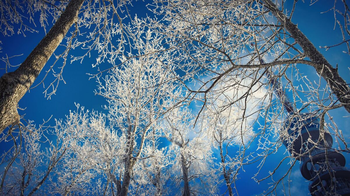
Freezing rain, sleet and snow all start as ice crystals high in a cloud, and the difference comes from the air they fall through. Snow stays frozen all the way to the ground. Sleet melts in a warm layer aloft and refreezes into ice pellets before landing, while freezing rain melts and stays liquid until it hits a surface at or below 32°F (0°C), where it freezes into a glaze.
That glaze makes freezing rain the most dangerous of the three for roads, power lines and trees, even when the total amount looks small on a forecast.
How does snow form and reach the ground?
Snow forms when water vapor freezes onto tiny particles in a cloud that is below freezing, growing into six-sided ice crystals. Crystals stick together into flakes as they fall. For snow to reach the ground, the air from the cloud to the surface has to stay at or near freezing the whole way down, or close enough that flakes do not have time to melt.
Snow can fall when the ground-level temperature is a little above freezing, usually up to the mid-30s °F (about 1 to 2°C), if the air above is cold and dry. Wet, heavy flakes tend to fall in air near the freezing mark, while the light, powdery kind comes from colder air. Some places get extra snow from local effects; lake-effect snow forms when cold air crosses warmer open water and dumps narrow bands of heavy snow downwind.
What is sleet?
Sleet is small, translucent ice pellets that bounce when they hit the ground. It forms when snowflakes fall into a layer of air above freezing, melt partly or fully, then fall into a deep layer of below-freezing air near the surface and refreeze before landing.
Sleet makes a ticking or rattling sound on windows and car roofs. It piles up like coarse sand and does not stick to branches or wires the way freezing rain does. It still makes roads slippery, and a layer of sleet packs down into something close to solid ice.
One naming note: in the United States, “sleet” means ice pellets. In the UK and some other countries, the word usually means a mix of rain and snow falling together, so forecasts from different countries can use it differently.
What is freezing rain?
Freezing rain falls as liquid drops and freezes on contact with anything at or below 32°F (0°C). It forms when snow melts completely in a warm layer aloft and the cold layer near the ground is too shallow to refreeze the drops before they land. The drops become supercooled, meaning they are still liquid below the freezing point, and turn to ice the moment they touch a cold road, branch or power line.
The result is a smooth, clear coating called glaze. It builds up layer by layer as the rain continues. When a freezing rain event leaves a heavy coating over a wide area, forecasters call it an ice storm.
How can you tell them apart?
A quick look and listen usually settles it:
- Snow: soft flakes that drift down, collect as white fluffy cover and can be shaped into a snowball when wet.
- Sleet: hard, clear pellets that bounce and rattle, collect in loose piles, and do not coat tree branches.
- Freezing rain: looks and sounds like ordinary rain, but leaves a shiny layer of ice on cars, railings, twigs and wires.
Freezing rain is the hardest to spot because it looks like normal rain while it falls. Check the air temperature and look for ice forming on car windshields and tree branches.
Which one is most dangerous?
Freezing rain causes the most damage. Ice is heavy, and a coating of a quarter inch (about 6 mm) or more can bring down tree limbs and power lines, leading to long outages. Glaze on roads and sidewalks is often hard to see, which is why it is called black ice when it forms on pavement.
Sleet is less damaging to trees and lines, but it still creates slick roads, and it can pile up deeply in some storms. Snow causes trouble through depth and weight: heavy amounts block roads and can stress roofs, and strong wind with snow can cut visibility to near zero.
The National Weather Service issues winter storm and ice storm warnings when these hazards are expected, and its local forecast offices explain the threshold used in each area.
Why can one storm bring all three?
Many winter storms produce snow, sleet and freezing rain in the same day, sometimes only a few miles apart. The type depends on the temperature profile of the air column overhead, which changes as a storm moves and as warm air flows in above colder air at the surface.
A common pattern runs like this: the storm starts as snow, switches to sleet as a warm layer moves in aloft, then turns to freezing rain as that warm layer deepens, and ends as plain rain if the surface warms above freezing. On the northern or colder side of the storm, snow may continue the whole time. Forecasters watch the depth and temperature of each layer closely, and small changes of a degree or two can shift the outcome.
How do you stay safe in ice and sleet?
Falls and car crashes cause many of the injuries in ice storms. Basic steps help:
- Stay off the roads during freezing rain if you can; bridges and overpasses ice first.
- Walk slowly with short steps, and treat any shiny pavement as icy.
- Keep away from downed power lines and report them to the utility.
- Have flashlights, charged phones and warm layers ready in case of an outage, and never run a generator or grill indoors because of carbon monoxide.
The Ready.gov winter weather page lists preparation steps for homes and cars.
Quick answers
Is hail the same as sleet?
No. Hail forms inside thunderstorm updrafts, which carry ice up and down until it grows into layered balls, and it falls mostly in warm months. Sleet is a winter pellet that forms from melting and refreezing.
What is graupel?
Graupel is soft, white pellets that form when supercooled droplets freeze onto falling snowflakes. The pellets are crumbly and squash easily, unlike hard, clear sleet.
What is the difference between freezing rain and freezing drizzle?
Both freeze on contact. Freezing drizzle has much smaller drops and usually builds ice more slowly, but it can still glaze roads.
Can freezing rain fall when the air feels above freezing?
The air at head height can be slightly above freezing while roads, branches and cars stay colder after a cold night, so ice can still form on those surfaces.