LEO, MEO and GEO Orbits Explained in Plain English
Every satellite launch is aimed at a particular orbit. Its height and tilt decide what the satellite can do, which pad it leaves from and which way the rocket flies.
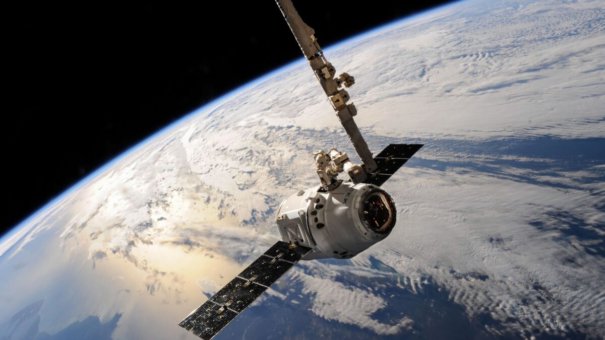
An orbit is the path a satellite follows while it falls around Earth fast enough to keep missing it. Low Earth orbit (LEO) runs up to about 1,200 miles (2,000 km) high, medium Earth orbit (MEO) covers the band where GPS flies, and geostationary orbit (GEO) sits 22,236 miles (35,786 km) above the equator.
The higher the orbit, the slower the satellite moves and the longer one lap takes. That single rule explains most of what follows.
What is low Earth orbit (LEO)?
Low Earth orbit is any orbit up to roughly 1,200 miles (2,000 km) above Earth, and it is where most satellites and all crewed spacecraft today fly. A spacecraft in LEO moves at about 17,500 mph (7.8 km per second) and circles the planet in roughly 90 minutes to two hours.
- The International Space Station orbits at about 250 miles (400 km) and laps Earth about 16 times a day.
- Broadband constellations such as Starlink and Amazon Leo fly in LEO, a few hundred miles up, which keeps the signal delay short. Our comparison of Starlink and Amazon Leo covers what that means for customers.
- Many Earth-imaging satellites fly in LEO because they are close enough for sharp pictures.
LEO is the cheapest orbit to reach, but satellites there are low enough to feel a trace of atmosphere. That drag slowly pulls them down, so they need engines to stay up or they reenter after some years.
What are MEO and GEO orbits used for?
Medium Earth orbit is mostly used by navigation satellites, and geostationary orbit by communications and weather satellites that need to stay over one spot. The table compares the main orbits by height and time per lap.
| Orbit | Typical height | Time for one lap | Common uses |
|---|---|---|---|
| Low Earth orbit (LEO) | 100 to 1,200 mi (160 to 2,000 km) | About 90 to 120 minutes | Space station, crewed missions, broadband constellations, imaging |
| Sun-synchronous (a type of LEO) | About 370 to 500 mi (600 to 800 km) | About 100 minutes | Earth observation, weather, mapping |
| Medium Earth orbit (MEO) | About 1,200 to 22,000 mi | Several hours; about 12 hours for GPS | GPS and other navigation systems |
| Geostationary (GEO) | 22,236 mi (35,786 km), over the equator | One day, matching Earth’s spin | Satellite TV, communications, weather satellites |
GPS satellites orbit about 12,550 miles (20,200 km) up and take about 12 hours per lap. Several of them are above the horizon from any point on Earth, which is what lets your phone fix its position.
A geostationary satellite takes exactly as long to go around as Earth takes to spin once. Seen from the ground, it hangs at the same point in the sky. That is why a satellite TV dish can be bolted in place and never move. The cost is distance: the signal takes about a quarter of a second for the round trip, which is why GEO internet feels slow for video calls.
Rockets often drop GEO satellites in a stretched transfer orbit, called geostationary transfer orbit (GTO), and the satellite’s own engine finishes the climb over days or weeks.
What are polar and sun-synchronous orbits?
A polar orbit passes over or near both poles, so the satellite sees the whole planet as Earth turns beneath it. A sun-synchronous orbit is a polar orbit tilted slightly past 90 degrees, so the satellite crosses each spot at the same local time every day.
That fixed timing matters for imaging. A satellite that passes over Iowa at 10:30 a.m. local time every day gets shadows of the same length on every pass, so scientists can compare pictures from one week to the next. Weather, mapping and many commercial imaging satellites use this orbit.
The tilt of an orbit is called its inclination. Zero degrees follows the equator, 90 degrees passes over the poles, and the station’s 51.6 degrees means it flies over places between 51.6 degrees north and south latitude. Our guide on how to see the ISS explains why that limits where it is visible.
Why do Florida launches go east?
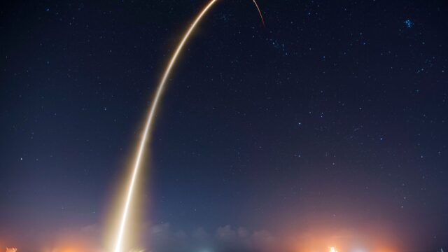
Florida launches go east to borrow speed from Earth’s rotation and to fly over the open Atlantic. Earth spins toward the east, and the ground at Cape Canaveral moves at roughly 900 mph. A rocket heading east starts with that speed for free, so it can carry more weight to orbit.
The ocean matters just as much. Spent stages and any debris from a failure fall into the water, not on towns. The heading within that eastern arc depends on the target. A rocket bound for the space station flies northeast, up the coast. A rocket bound for GEO goes closer to due east.
The launch site’s latitude also sets the lowest inclination a rocket can reach directly, about 28.5 degrees from Cape Canaveral. Reaching an orbit over the equator then takes extra maneuvering, which is one reason GEO missions often use a transfer orbit. Our article on why rockets launch from Florida covers the history of the site.
Why do Vandenberg launches go south?
Vandenberg launches go south because polar and sun-synchronous orbits need a north-south path, and the California coast has open Pacific Ocean to the south. A rocket from Vandenberg Space Force Base can fly over water for its whole climb, with no cities below.
Polar launches give up the boost from Earth’s spin, so a rocket can lift less weight to a polar orbit than to an eastward one. Florida has a southern corridor too, used since 2020 for some polar missions, but the path skirts the Florida coast, so the West Coast still handles most of them. Our guide to watching a Vandenberg launch explains why many of those flights happen at night.
For more on orbit types, the European Space Agency’s orbit guide has diagrams of each one.
Bottom line
Low Earth orbit, up to about 1,200 miles, holds the space station, broadband constellations and most imaging satellites. Medium Earth orbit holds GPS at about 12,550 miles. Geostationary orbit, 22,236 miles over the equator, keeps a satellite fixed in the sky for TV and weather. Florida launches head east to use Earth’s spin over the Atlantic, and Vandenberg launches head south over the Pacific to reach polar orbits.
FAQ
How high is low Earth orbit?
Low Earth orbit is usually defined as up to about 1,200 miles (2,000 km), though most spacecraft in LEO fly far lower, between about 200 and 750 miles. The space station flies at about 250 miles.
Why don’t satellites fall down?
They are falling, but they move sideways so fast that the ground curves away beneath them as quickly as they drop. In low Earth orbit that takes about 17,500 mph.
Why is geostationary orbit so far away?
Orbits get slower as they get higher, and 22,236 miles is the one height where a lap takes exactly as long as Earth’s daily spin. Any lower and the satellite would drift ahead of the ground.
What is a sun-synchronous orbit used for?
It is used for Earth observation, weather and mapping satellites. Because the satellite passes each place at the same local time daily, its images have consistent lighting from one pass to the next.