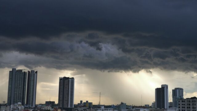
Florida Rain Tops 16 Inches as a Possible Storm Kyle Looms
Over 16 inches of rain fell near Fort Lauderdale this week, and a storm named Kyle could form off Florida as soon as Nov. 20. What forecasters are watching.
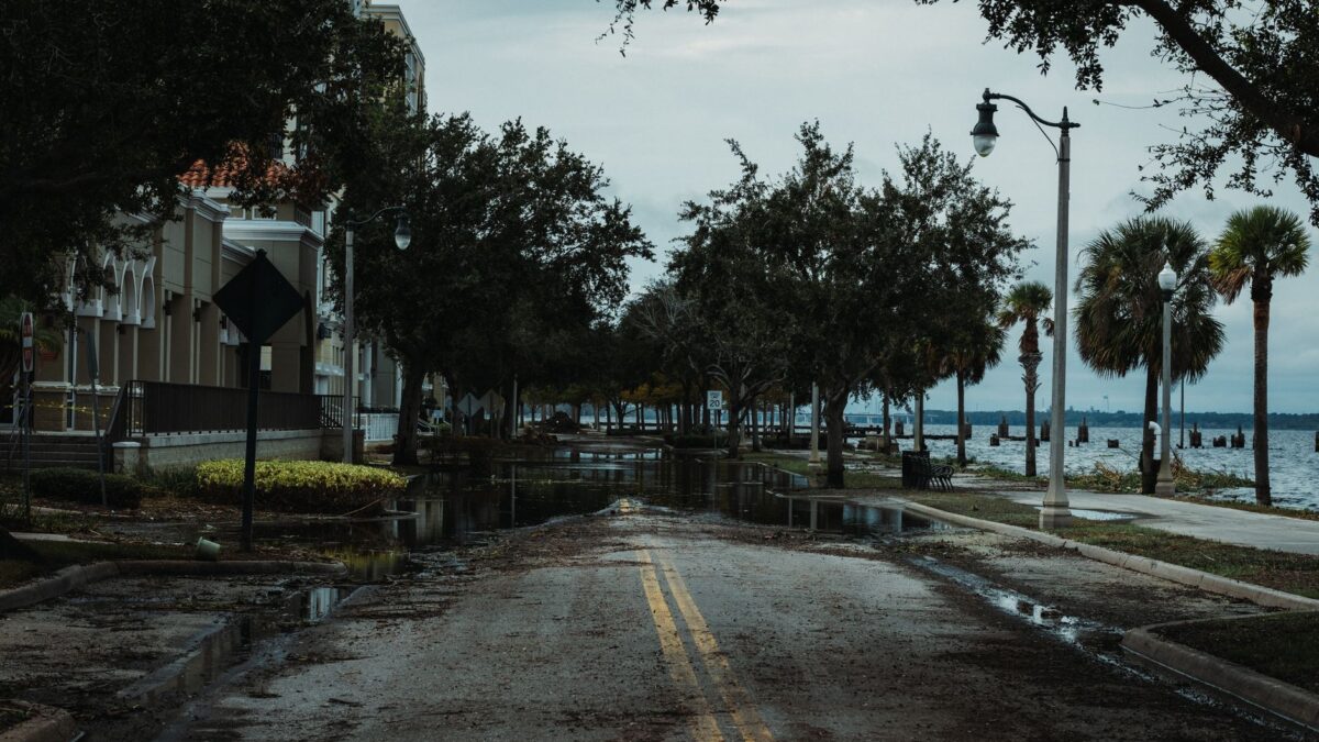
A tropical or subtropical storm could form just east of Florida as soon as Friday, Nov. 20, and the next name on the Atlantic list is Kyle, according to Yale Climate Connections. Hurricane hunter flights are scheduled to investigate the system starting at midday Friday. Whether it gets a name or not, forecasters expect strong easterly winds, heavy rain and rough surf along a wide stretch of the East Coast.
Southeast Florida has already taken a soaking. Many neighborhoods, including Plantation in Broward County, received more than 16 inches of rain, with over a foot of it falling between Tuesday and early Wednesday. The downpours closed schools and forced road detours.
What is feeding the rain
The heavy rain is tied to a frontal system sitting across the Florida Peninsula while energy higher in the atmosphere drifts slowly north along it. Record-to-near-record warm ocean water off Florida’s east coast has boosted the rainfall, and strong easterly winds are pushing very moist air from the Atlantic toward the coast. Climate Central’s Ocean Shift Index found that human-caused climate change made near-record warmth within about 200 miles of Florida’s east coast two to seven times more likely.
The Gulf Stream, a current that carries warm tropical water north along the western Atlantic, is one reason development is possible. Sea surface temperatures just east of Florida are in the low 80s, and offshore waters along the Southeast coast range from the upper 70s to the low 80s. Wind shear, which can tear a young storm apart, is relatively low.
At Melbourne International Airport, 17.25 inches of rain fell from Nov. 1 to 18. Preliminary data showed close to five more inches by early afternoon Thursday, Nov. 19. If confirmed, that would put the month at more than double the city’s November record of 9.72 inches, set in 1963, and past its all-time monthly record of 21.06 inches from August 2018, with 11 days left in November.
Where the flooding threat points
The NOAA/NWS Weather Prediction Center placed east-central Florida around the Space Coast in a level 4 of 4 high-risk area for excessive rain on Friday and Friday night. Winds and waves of 10 to 15 feet are expected to cause repeated rounds of minor to moderate coastal flooding and moderate to locally major beach erosion from Florida’s east coast north of the Bahamas into early Saturday. The threat then moves into the coastal Carolinas over the weekend, and heavy rain and gusty wind could reach the Northeast and New England.
The Outer Banks of North Carolina are especially exposed. Storms in September and October already washed out NC-12, the only road linking the barrier islands to the mainland. The October storm closed it for 10 days, and just one lane is open at the washout spot. The two storms caused 16 home collapses, on top of 32 from 2020 to February 2026. Another coastal storm is likely on Wednesday or Thursday, according to recent runs of the European and GFS forecast models, and it would arrive during the full moon king tide period of unusually high tides.
How sure is this?
These are forecasts, not measurements, and the source says several things are unsettled. It is unclear whether the system will strengthen far enough offshore to organize into a named storm. Models agree on the general path, but a small shift left or right could bring the center ashore in the Carolinas or keep it well offshore. The exact track, strength and timing will decide where impacts are worst. The Melbourne totals are preliminary. The rainfall and warm-water figures are reported by Yale Climate Connections, whose post was written by Jeff Masters with Bob Henson contributing; it is not a peer-reviewed study.
The season itself has been quiet. By Nov. 19 the Atlantic typically has about 14 named storms, seven hurricanes and three major hurricanes. The 2026 season has produced 10 named storms, and only one became a hurricane, Isaias, which was also the only major hurricane.
The longer sea level picture
Between 1979 and 2025, sea level rose by about 9.4 inches at Duck, in the northern Outer Banks. Climate Central attributes about 33% of that rise to human-caused global warming. A flood that was a one-in-10-year event in 1979, at 2.64 feet above high tide, has already happened on five days at Duck in 2026. Duck has averaged about 15 days a year of minor coastal flooding over the past five years. Under an intermediate scenario, NOAA and NASA project 80 flood days a year on the Outer Banks by 2045. The Outer Banks have a permanent population of around 57,000.
A cycle in the moon’s orbit that repeats every 18.6 years will speed up sea level rise for much of the Gulf of Mexico coast, parts of the Southeast, the West Coast and Hawaii beginning around 2033. For background on how these storms build, see this explainer on nor’easters.
Source: Yale Climate Connections
Site editor: Nikita Sheikin